Ohauparuparu Bay Area, Ohauparuparu Bay Postcode & Map in Ohauparuparu Bay
Ohauparuparu Bay Area, Ohauparuparu Bay Postcode & Map in Ohauparuparu Bay, Marlborough District, New Zealand
Ohauparuparu Bay, Marlborough District, New Zealand
Ohauparuparu Bay Area (estimated)
0.6 square kilometersOhauparuparu Bay Population (estimated)
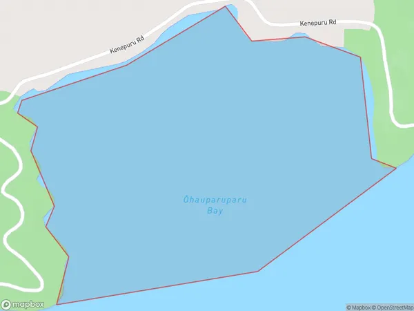
0 people live in Ohauparuparu Bay, Marlborough, NZOhauparuparu Bay Suburb Area Map (Polygon)
Ohauparuparu Bay Introduction
Ohauparuparu Bay is a small, sheltered bay located in the Marlborough region of New Zealand's South Island. It is known for its clear waters, sandy beaches, and stunning coastal scenery. The bay is a popular spot for swimming, kayaking, and fishing, and is surrounded by native forests and farmland. The bay is also home to a small community of people who live in the surrounding area.Region
Suburb Name
Ohauparuparu Bay (Maori Name: Ōhauparuparu Bay)Other Name(s)
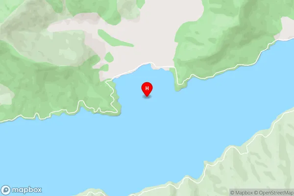
Kenepuru SoundOhauparuparu Bay Area Map (Street)
Local Authority
Marlborough DistrictFull Address
Ohauparuparu Bay, Marlborough District, New ZealandAddress Type
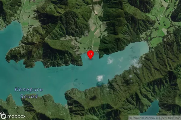
Coastal BayOhauparuparu Bay Suburb Map (Satellite)
Country
Main Region in AU
MarlboroughOhauparuparu Bay Region Map

Coordinates
-41.1754398,174.0885795 (latitude/longitude)Distances
The distance from Ohauparuparu Bay, , Marlborough District to NZ Top 10 Cities