Ohauhunga Bay Area, Ohauhunga Bay Postcode & Map in Ohauhunga Bay
Ohauhunga Bay Area, Ohauhunga Bay Postcode & Map in Ohauhunga Bay, Area outside Territorial Authority, New Zealand
Ohauhunga Bay, Area outside Territorial Authority, New Zealand
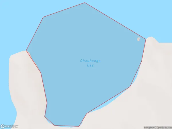
Ohauhunga Bay Area (estimated)
0.4 square kilometersOhauhunga Bay Population (estimated)
0 people live in Ohauhunga Bay, Waikato, NZOhauhunga Bay Suburb Area Map (Polygon)
Ohauhunga Bay Introduction
Ohauhunga Bay is a popular beach destination in Waikato, New Zealand. It is known for its clear waters, sandy beaches, and stunning coastal scenery. The bay is a popular spot for swimming, surfing, and fishing, and it is also home to a variety of bird species. The bay is surrounded by picturesque farmland and rural landscapes, and it is a short drive from the city of Hamilton.Region
Suburb Name
Ohauhunga BayOther Name(s)
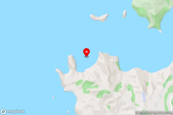
Hauraki GulfOhauhunga Bay Area Map (Street)
Local Authority
Area outside Territorial AuthorityFull Address
Ohauhunga Bay, Area outside Territorial Authority, New ZealandAddress Type
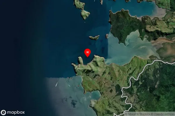
Coastal BayOhauhunga Bay Suburb Map (Satellite)
Country
Main Region in AU
WaikatoOhauhunga Bay Region Map

Coordinates
-36.8506514,175.4156446 (latitude/longitude)Distances
The distance from Ohauhunga Bay, , Area outside Territorial Authority to NZ Top 10 Cities