Oananga Bay Area, Oananga Bay Postcode & Map in Oananga Bay
Oananga Bay Area, Oananga Bay Postcode & Map in Oananga Bay, Area outside Territorial Authority, New Zealand
Oananga Bay, Area outside Territorial Authority, New Zealand
Oananga Bay Area (estimated)
0.3 square kilometersOananga Bay Population (estimated)
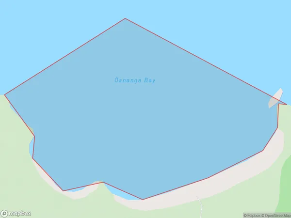
0 people live in Oananga Bay, Nelson, NZOananga Bay Suburb Area Map (Polygon)
Oananga Bay Introduction
Oananga Bay is a popular beach in Nelson, New Zealand, known for its golden sand and clear waters. It is a great spot for swimming, sunbathing, and water sports such as kayaking and paddleboarding. The bay is also home to a small community of people who live in beach houses and apartments. The area is surrounded by beautiful native forests and has several walking trails that offer stunning views of the bay and the surrounding area.Region
Suburb Name
Oananga Bay (Maori Name: Ōananga Bay)Other Name(s)
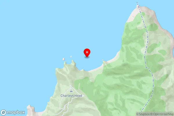
Tasman BayOananga Bay Area Map (Street)
Local Authority
Area outside Territorial AuthorityFull Address
Oananga Bay, Area outside Territorial Authority, New ZealandAddress Type
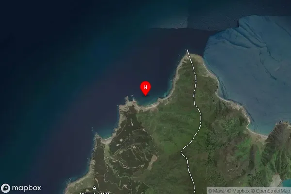
Coastal BayOananga Bay Suburb Map (Satellite)
Country
Main Region in AU
NelsonOananga Bay Region Map

Coordinates
-41.0636192,173.5791352 (latitude/longitude)Distances
The distance from Oananga Bay, , Area outside Territorial Authority to NZ Top 10 Cities