North West Arm Area, North West Arm Postcode(9600) & Map in North West Arm
North West Arm Area, North West Arm Postcode(9600) & Map in North West Arm, Southland District, New Zealand
North West Arm, Southland District, New Zealand
North West Arm Postcodes
North West Arm Area (estimated)
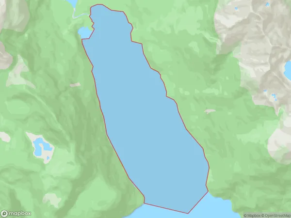
8.8 square kilometersNorth West Arm Population (estimated)
0 people live in North West Arm, Fiordland Community, NZNorth West Arm Suburb Area Map (Polygon)
North West Arm Introduction
North West Arm is a small bay and settlement on the southern coast of New Zealand's South Island. It is located in the Southland District and is part of the Fiordland National Park. The bay is surrounded by rugged mountains and is a popular destination for outdoor activities such as hiking, kayaking, and fishing. The settlement has a population of around 50 people and is home to a small hotel and a convenience store.Region
Major City
Suburb Name
North West ArmOther Name(s)
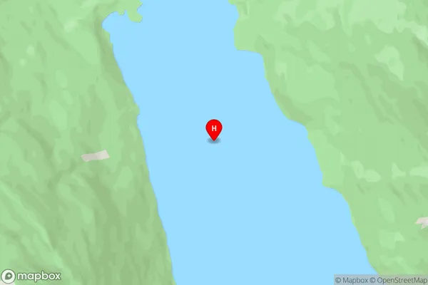
Middle Fiord, Lake Te AnauNorth West Arm Area Map (Street)
Local Authority
Southland DistrictFull Address
North West Arm, Southland District, New ZealandAddress Type
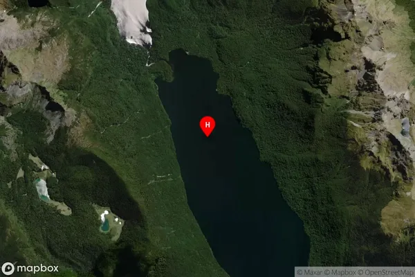
Inland BayNorth West Arm Suburb Map (Satellite)
Country
Main Region in AU
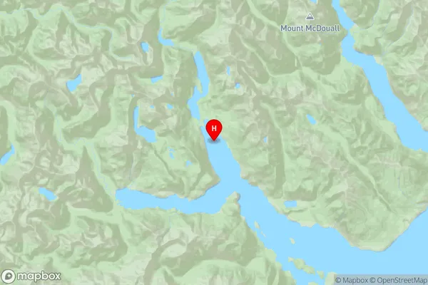
SouthlandNorth West Arm Region Map
Coordinates
-45.107611,167.585194 (latitude/longitude)Distances
The distance from North West Arm, , Southland District to NZ Top 10 Cities