North Arm Area, North Arm Postcode(9643) & Map in North Arm
North Arm Area, North Arm Postcode(9643) & Map in North Arm, Southland District, New Zealand
North Arm, Southland District, New Zealand
North Arm Postcodes
North Arm Area (estimated)
-1.2 square kilometersNorth Arm Population (estimated)
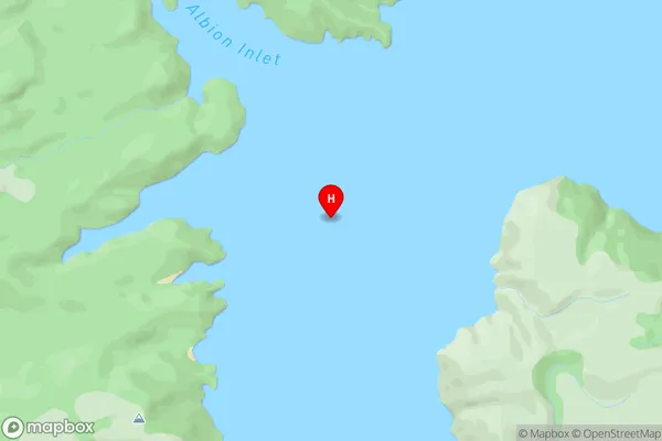
0 people live in North Arm, Southland, NZNorth Arm Suburb Area Map (Polygon)
Not available for nowNorth Arm Introduction
North Arm is a small township in Southland, New Zealand, located on State Highway 6. It is situated between the Taieri River and the Southern Alps, and is popular with tourists for its scenic views and outdoor activities. The township has a population of around 100 people and is home to a primary school, a convenience store, and a hotel.Region
Suburb Name
North ArmOther Name(s)
Lake ManapouriNorth Arm Area Map (Street)
Local Authority
Southland DistrictFull Address
North Arm, Southland District, New ZealandAddress Type
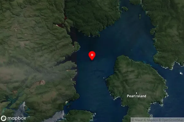
Inland BayNorth Arm Suburb Map (Satellite)
Country
Main Region in AU
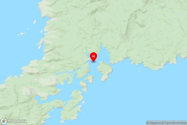
SouthlandNorth Arm Region Map
Coordinates
-47.1800152,167.6824278 (latitude/longitude)Distances
The distance from North Arm, , Southland District to NZ Top 10 Cities