Avondale Area, Avondale Postcode(8061) & Map in Avondale
Avondale Area, Avondale Postcode(8061) & Map in Avondale, Christchurch City, New Zealand
Avondale, Christchurch City, New Zealand
Avondale Postcodes
Avondale Area (estimated)
2.6 square kilometersAvondale Population (estimated)
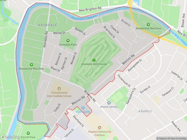
2704 people live in Avondale, Coastal-Burwood Community, NZAvondale Suburb Area Map (Polygon)
Avondale Introduction
Avondale is a suburb of Christchurch, New Zealand, located in the eastern suburbs of the city. It is known for its vibrant community, historic homes, and proximity to the Avondale Racecourse. Avondale is also home to a variety of shops, cafes, and restaurants, making it a popular destination for locals and visitors alike.Region
Major City
Suburb Name
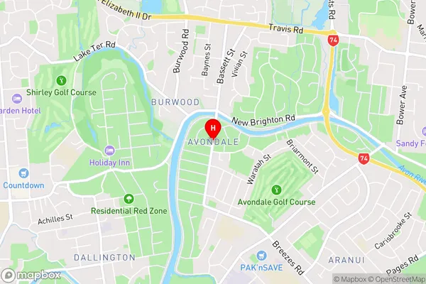
AvondaleAvondale Area Map (Street)
Local Authority
Christchurch CityFull Address
Avondale, Christchurch City, New ZealandAddress Type
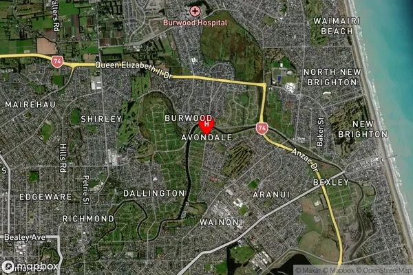
Suburb in City ChristchurchAvondale Suburb Map (Satellite)
Country
Main Region in AU
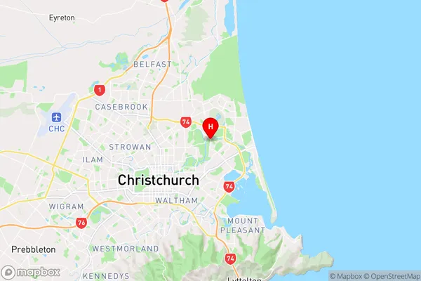
CanterburyAvondale Region Map
Coordinates
-43.5029022,172.6874181 (latitude/longitude)Distances
The distance from Avondale, Christchurch, Christchurch City to NZ Top 10 Cities