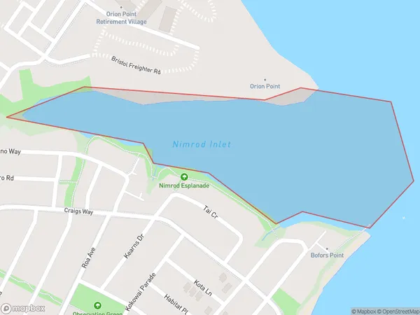
Nimrod Inlet Area, Nimrod Inlet Postcode(0618) & Map in Nimrod Inlet
Nimrod Inlet Area, Nimrod Inlet Postcode(0618) & Map in Nimrod Inlet, Auckland, New Zealand
Nimrod Inlet, Auckland, New Zealand
Nimrod Inlet Postcodes
Nimrod Inlet Area (estimated)
0.2 square kilometersNimrod Inlet Population (estimated)
0 people live in Nimrod Inlet, Upper Harbour, NZNimrod Inlet Suburb Area Map (Polygon)
Nimrod Inlet Introduction
Nimrod Inlet is located in the Bay of Islands, north of Auckland, New Zealand. It is a popular spot for water sports such as sailing, kayaking, and jet skiing. The inlet is also home to a small community of people who live in houses on the shores of the inlet. The area is known for its beautiful scenery, including lush forests, rocky cliffs, and crystal-clear waters.Region
Major City
Suburb Name
Nimrod InletOther Name(s)
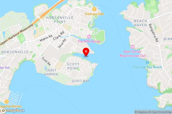
Waitemata Harbour, Hauraki Gulf (Maori Name: Waitematā Harbour, Hauraki Gulf)Nimrod Inlet Area Map (Street)
Local Authority
AucklandFull Address
Nimrod Inlet, Auckland, New ZealandAddress Type
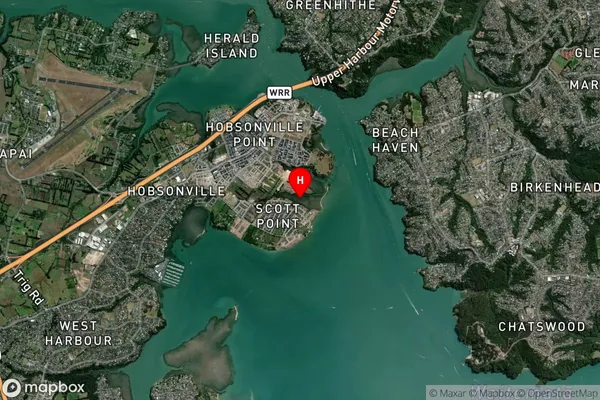
Coastal BayNimrod Inlet Suburb Map (Satellite)
Country
Main Region in AU
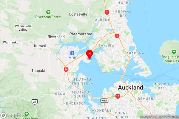
AucklandNimrod Inlet Region Map
Coordinates
-36.8004332,174.6686561 (latitude/longitude)Distances
The distance from Nimrod Inlet, , Auckland to NZ Top 10 Cities