Nguroa Bay Area, Nguroa Bay Postcode & Map in Nguroa Bay
Nguroa Bay Area, Nguroa Bay Postcode & Map in Nguroa Bay, Tasman District, New Zealand
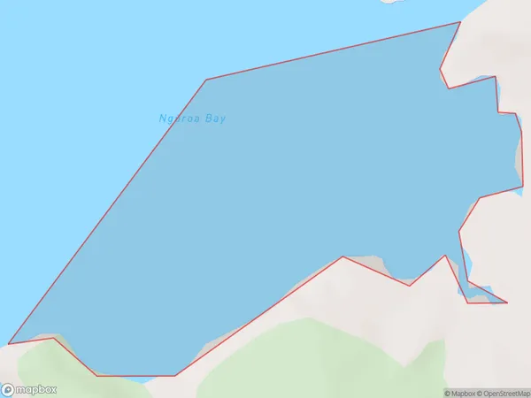
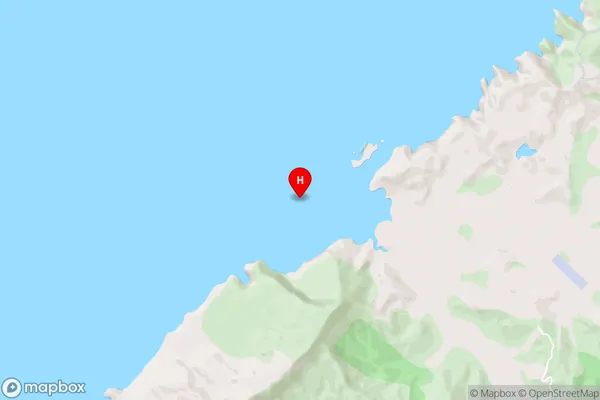
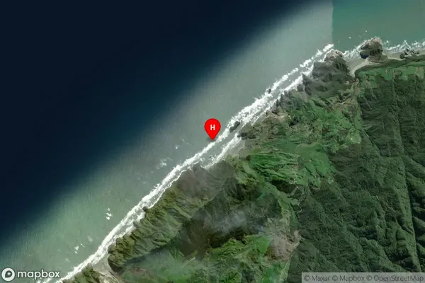
Nguroa Bay, Tasman District, New Zealand
Nguroa Bay Area (estimated)
0.5 square kilometersNguroa Bay Population (estimated)
0 people live in Nguroa Bay, Tasman, NZNguroa Bay Suburb Area Map (Polygon)
Nguroa Bay Introduction
Nguroa Bay is a small, sheltered bay located on the west coast of the Tasman Peninsula in New Zealand. It is known for its beautiful turquoise waters, white sandy beaches, and stunning coastal scenery. The bay is a popular spot for swimming, kayaking, and fishing, and is home to a small community of residents. The area is also rich in cultural heritage, with several historic sites and museums nearby.Region
Suburb Name
Nguroa Bay (Maori Name: Ngūroa Bay)Nguroa Bay Area Map (Street)
Local Authority
Tasman DistrictFull Address
Nguroa Bay, Tasman District, New ZealandAddress Type
Coastal BayNguroa Bay Suburb Map (Satellite)
Country
Main Region in AU
TasmanNguroa Bay Region Map

Coordinates
-40.5223811,172.6176467 (latitude/longitude)Distances
The distance from Nguroa Bay, , Tasman District to NZ Top 10 Cities