Ngohitanu Bay Area, Ngohitanu Bay Postcode & Map in Ngohitanu Bay
Ngohitanu Bay Area, Ngohitanu Bay Postcode & Map in Ngohitanu Bay, Area outside Territorial Authority, New Zealand
Ngohitanu Bay, Area outside Territorial Authority, New Zealand
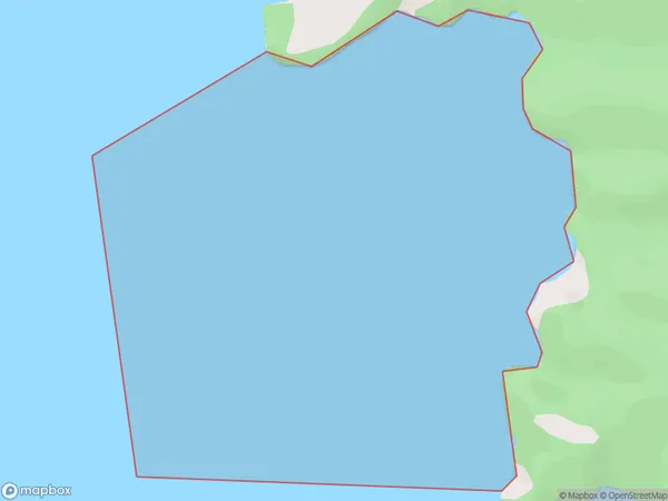
Ngohitanu Bay Area (estimated)
1.3 square kilometersNgohitanu Bay Population (estimated)
0 people live in Ngohitanu Bay, Waikato, NZNgohitanu Bay Suburb Area Map (Polygon)
Ngohitanu Bay Introduction
Ngohitanu Bay is a small, sheltered bay located in the Waikato region of New Zealand. It is known for its clear waters, sandy beaches, and stunning coastal scenery. The bay is a popular spot for swimming, kayaking, and fishing, and is surrounded by native bush and farmland. It is also home to a small community of residents who enjoy the peaceful and relaxed lifestyle of the area.Region
Suburb Name
Ngohitanu BayOther Name(s)
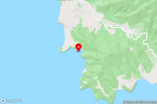
Hauraki GulfNgohitanu Bay Area Map (Street)
Local Authority
Area outside Territorial AuthorityFull Address
Ngohitanu Bay, Area outside Territorial Authority, New ZealandAddress Type
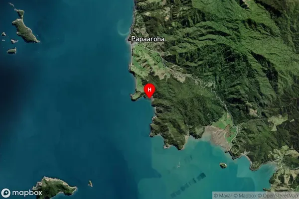
Coastal BayNgohitanu Bay Suburb Map (Satellite)
Country
Main Region in AU
WaikatoNgohitanu Bay Region Map

Coordinates
-36.7170471,175.4366818 (latitude/longitude)Distances
The distance from Ngohitanu Bay, , Area outside Territorial Authority to NZ Top 10 Cities