Ngawai Bay Area, Ngawai Bay Postcode & Map in Ngawai Bay
Ngawai Bay Area, Ngawai Bay Postcode & Map in Ngawai Bay, Area outside Territorial Authority, New Zealand
Ngawai Bay, Area outside Territorial Authority, New Zealand
Ngawai Bay Area (estimated)
0.3 square kilometersNgawai Bay Population (estimated)
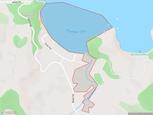
0 people live in Ngawai Bay, Northland, NZNgawai Bay Suburb Area Map (Polygon)
Ngawai Bay Introduction
Ngawai Bay is a picturesque bay located in the Far North District of Northland, New Zealand. It is known for its stunning turquoise waters, white sandy beaches, and surrounding natural beauty. The bay is a popular spot for swimming, kayaking, and fishing, and is home to a variety of marine species. It is also a popular destination for tourists who want to experience the natural beauty of Northland.Region
Suburb Name
Ngawai BayOther Name(s)
Helena BayNgawai Bay Area Map (Street)

Local Authority
Area outside Territorial AuthorityFull Address
Ngawai Bay, Area outside Territorial Authority, New ZealandAddress Type
Coastal BayNgawai Bay Suburb Map (Satellite)

Country
Main Region in AU
NorthlandNgawai Bay Region Map

Coordinates
-35.43571375,174.365912322731 (latitude/longitude)Distances
The distance from Ngawai Bay, , Area outside Territorial Authority to NZ Top 10 Cities