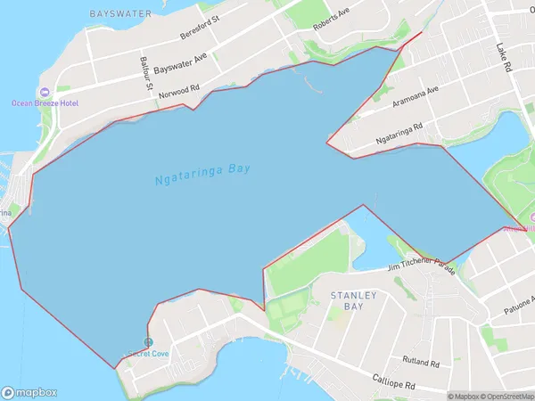
Ngataringa Bay Area, Ngataringa Bay Postcode(0622) & Map in Ngataringa Bay
Ngataringa Bay Area, Ngataringa Bay Postcode(0622) & Map in Ngataringa Bay, Auckland, New Zealand
Ngataringa Bay, Auckland, New Zealand
Ngataringa Bay Postcodes
Ngataringa Bay Area (estimated)
2.1 square kilometersNgataringa Bay Population (estimated)
0 people live in Ngataringa Bay, Devonport-Takapuna, NZNgataringa Bay Suburb Area Map (Polygon)
Ngataringa Bay Introduction
Ngataringa Bay is a picturesque and protected bay located in the North Shore region of Auckland, New Zealand. It is known for its clear waters, sandy beaches, and stunning coastal scenery. The bay is a popular spot for swimming, kayaking, and sailing and is home to a diverse range of marine life, including penguins, seals, and dolphins. It is also a significant cultural and historical site, with several important Maori archaeological sites located within its boundaries.Region
Major City
Suburb Name
Ngataringa BayOther Name(s)
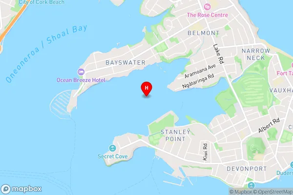
Waitemata Harbour, Hauraki Gulf (Maori Name: Waitematā Harbour, Hauraki Gulf)Ngataringa Bay Area Map (Street)
Local Authority
AucklandFull Address
Ngataringa Bay, Auckland, New ZealandAddress Type
Coastal BayNgataringa Bay Suburb Map (Satellite)
Country
Main Region in AU
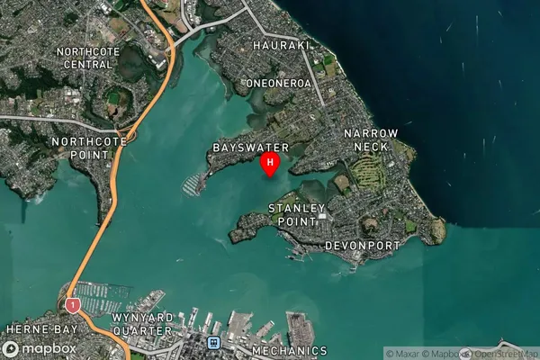
AucklandNgataringa Bay Region Map

Coordinates
-36.81967995,174.779934755329 (latitude/longitude)Distances
The distance from Ngataringa Bay, , Auckland to NZ Top 10 Cities