Koputaroa Area, Koputaroa Postcode(5571) & Map in Koputaroa
Koputaroa Area, Koputaroa Postcode(5571) & Map in Koputaroa, Horowhenua District, New Zealand
Koputaroa, Horowhenua District, New Zealand
Koputaroa Area (estimated)
78.0 square kilometersKoputaroa Population (estimated)
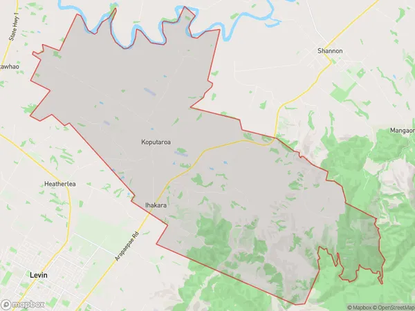
674 people live in Koputaroa, Manawatu-Wanganui, NZKoputaroa Suburb Area Map (Polygon)
Koputaroa Introduction
Koputaroa is a small rural community located in Shannon, Manawatu-Wanganui, New Zealand. It is known for its beautiful natural surroundings, including the Koputaroa Forest and the Koputaroa River. The community has a strong sense of community and is home to a variety of recreational facilities, including a golf course and a sports club. Koputaroa is a popular destination for tourists and locals alike, with its peaceful atmosphere and stunning natural beauty.Region
Major City
Suburb Name
KoputaroaOther Name(s)
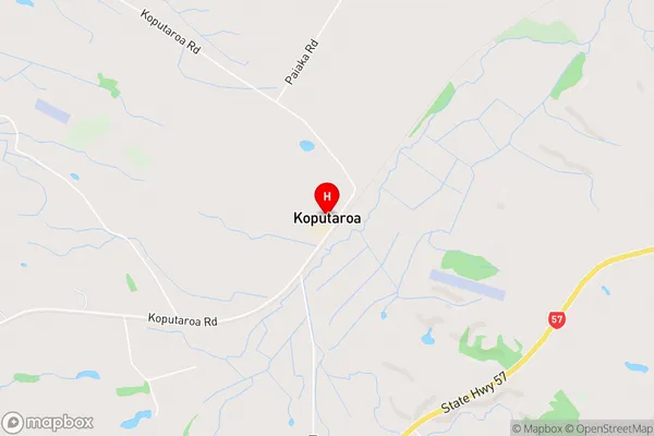
IhakaraKoputaroa Area Map (Street)
Local Authority
Horowhenua DistrictFull Address
Koputaroa, Horowhenua District, New ZealandAddress Type
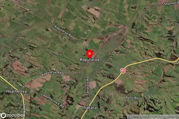
Locality in Town ShannonKoputaroa Suburb Map (Satellite)
Country
Main Region in AU
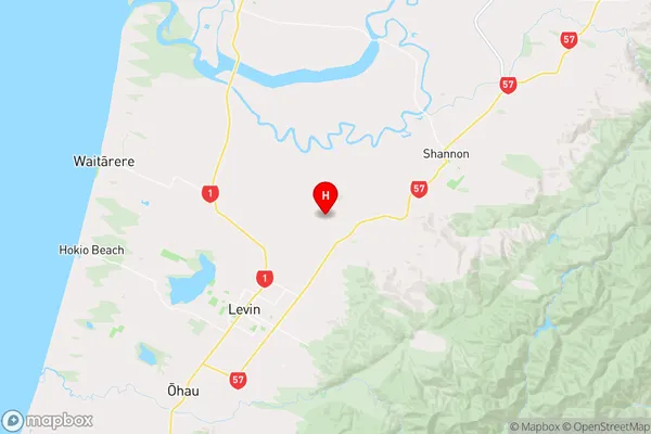
Manawatu-WanganuiKoputaroa Region Map
Coordinates
-40.5774993,175.3380391 (latitude/longitude)Distances
The distance from Koputaroa, Shannon, Horowhenua District to NZ Top 10 Cities