Ngaiotonga Bay Area, Ngaiotonga Bay Postcode & Map in Ngaiotonga Bay
Ngaiotonga Bay Area, Ngaiotonga Bay Postcode & Map in Ngaiotonga Bay, Area outside Territorial Authority, New Zealand
Ngaiotonga Bay, Area outside Territorial Authority, New Zealand
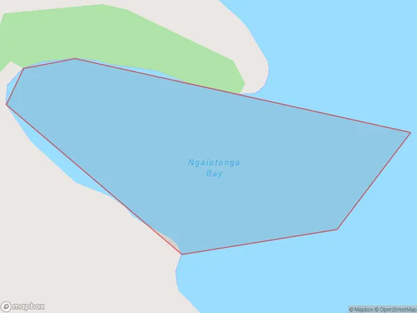
Ngaiotonga Bay Area (estimated)
0.1 square kilometersNgaiotonga Bay Population (estimated)
0 people live in Ngaiotonga Bay, Northland, NZNgaiotonga Bay Suburb Area Map (Polygon)
Ngaiotonga Bay Introduction
Ngaiotonga Bay is a small, shallow bay located in the Northland region of New Zealand. It is known for its clear waters, sandy beaches, and stunning coastal scenery. The bay is a popular destination for swimming, snorkeling, and kayaking, and is home to a variety of marine life, including dolphins, whales, and seals. The bay is also a significant cultural site for the local Maori people, with several important archaeological sites located within its boundaries.Region
Suburb Name
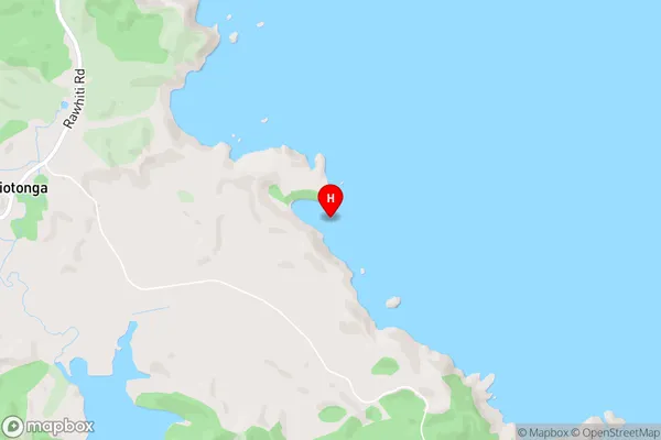
Ngaiotonga BayNgaiotonga Bay Area Map (Street)
Local Authority
Area outside Territorial AuthorityFull Address
Ngaiotonga Bay, Area outside Territorial Authority, New ZealandAddress Type
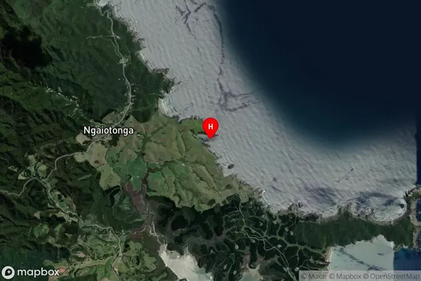
Coastal BayNgaiotonga Bay Suburb Map (Satellite)
Country
Main Region in AU
NorthlandNgaiotonga Bay Region Map

Coordinates
-35.310917,174.321639 (latitude/longitude)Distances
The distance from Ngaiotonga Bay, , Area outside Territorial Authority to NZ Top 10 Cities