Kopuaranga Area, Kopuaranga Postcode(5881) & Map in Kopuaranga
Kopuaranga Area, Kopuaranga Postcode(5881) & Map in Kopuaranga, Masterton District, New Zealand
Kopuaranga, Masterton District, New Zealand
Kopuaranga Postcodes
Kopuaranga Area (estimated)
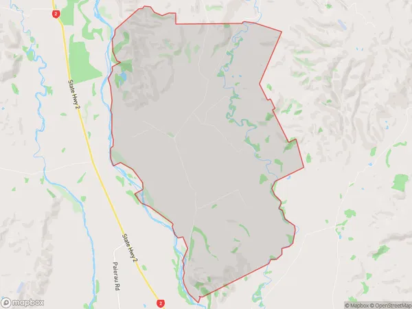
27.4 square kilometersKopuaranga Population (estimated)
111 people live in Kopuaranga, Wellington, NZKopuaranga Suburb Area Map (Polygon)
Kopuaranga Introduction
Kopuaranga is a suburb of Masterton in the Wellington Region of New Zealand. It is located on State Highway 2, 12 km south of Masterton town center. The area was originally settled by Māori, and the Kopuaranga Stream runs through it. The suburb has a population of around 1,200 people and is known for its scenic surroundings and historic buildings.Region
Major City
Suburb Name
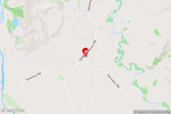
Kopuaranga (Maori Name: Kōpuaranga)Kopuaranga Area Map (Street)
Local Authority
Masterton DistrictFull Address
Kopuaranga, Masterton District, New ZealandAddress Type
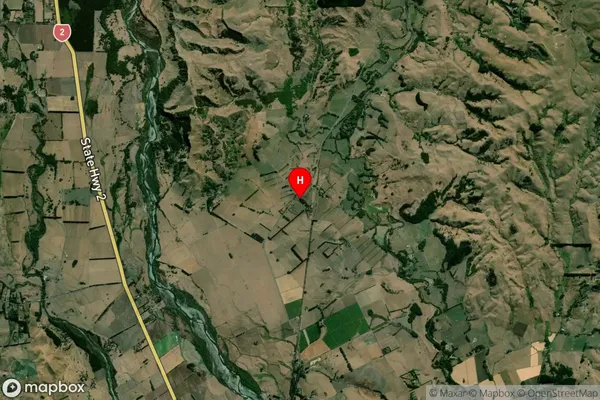
Locality in Town MastertonKopuaranga Suburb Map (Satellite)
Country
Main Region in AU
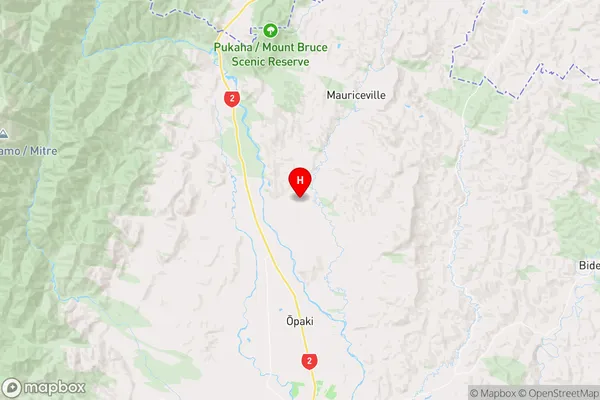
WellingtonKopuaranga Region Map
Coordinates
-40.8320902,175.6617341 (latitude/longitude)Distances
The distance from Kopuaranga, Masterton, Masterton District to NZ Top 10 Cities