Molloy Bay Area, Molloy Bay Postcode(7845) & Map in Molloy Bay
Molloy Bay Area, Molloy Bay Postcode(7845) & Map in Molloy Bay, Grey District, New Zealand
Molloy Bay, Grey District, New Zealand
Molloy Bay Postcodes
Molloy Bay Area (estimated)
1.2 square kilometersMolloy Bay Population (estimated)
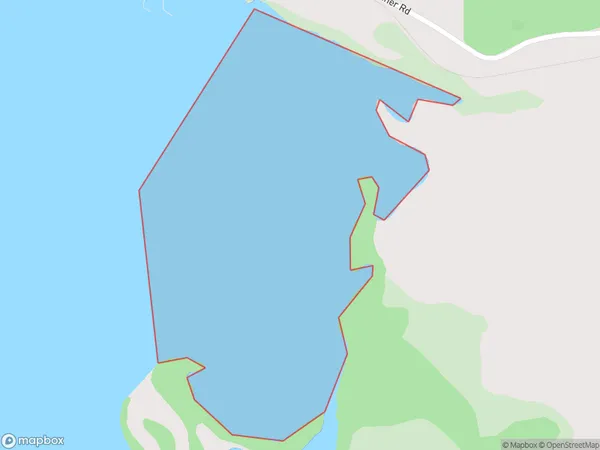
0 people live in Molloy Bay, West Coast, NZMolloy Bay Suburb Area Map (Polygon)
Molloy Bay Introduction
Molloy Bay is a small, sheltered bay on the west coast of New Zealand's South Island. It is located near the town of Westport and is popular with tourists and outdoor enthusiasts for its scenic beauty and recreational opportunities. The bay is surrounded by rugged mountain terrain and is home to a variety of wildlife, including seals, dolphins, and penguins.Region
Suburb Name
Molloy BayOther Name(s)
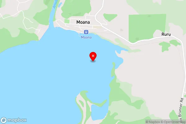
Lake Brunner (Moana)Molloy Bay Area Map (Street)
Local Authority
Grey DistrictFull Address
Molloy Bay, Grey District, New ZealandAddress Type
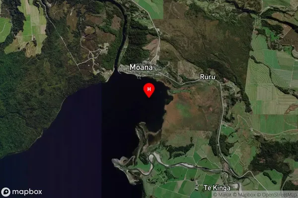
Inland BayMolloy Bay Suburb Map (Satellite)
Country
Main Region in AU
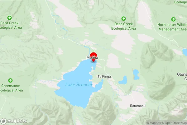
West CoastMolloy Bay Region Map
Coordinates
-42.5830845,171.4804287 (latitude/longitude)Distances
The distance from Molloy Bay, , Grey District to NZ Top 10 Cities