Mokomoko Inlet Area, Mokomoko Inlet Postcode & Map in Mokomoko Inlet
Mokomoko Inlet Area, Mokomoko Inlet Postcode & Map in Mokomoko Inlet, Invercargill City, New Zealand
Mokomoko Inlet, Invercargill City, New Zealand
Mokomoko Inlet Area (estimated)
2.5 square kilometersMokomoko Inlet Population (estimated)
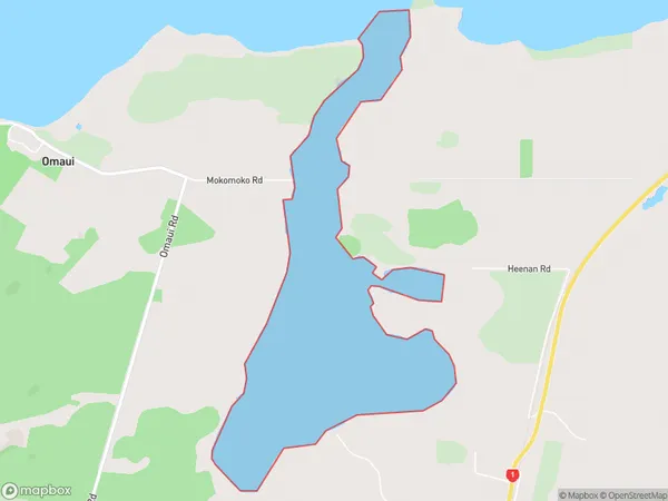
0 people live in Mokomoko Inlet, Invercargill City, NZMokomoko Inlet Suburb Area Map (Polygon)
Mokomoko Inlet Introduction
Mokomoko Inlet is a small, shallow inlet located in Southland, New Zealand. It is situated on the western coast of the South Island and is surrounded by rugged mountain terrain. The inlet is known for its stunning natural beauty, with crystal-clear waters and a surrounding forest of native trees and plants. Mokomoko Inlet is a popular spot for fishing, kayaking, and hiking, and it is also home to a small community of people who live in the surrounding area.Region
Major City
Suburb Name
Mokomoko InletOther Name(s)
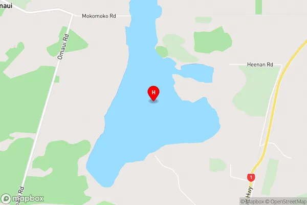
New River EstuaryMokomoko Inlet Area Map (Street)
Local Authority
Invercargill CityFull Address
Mokomoko Inlet, Invercargill City, New ZealandAddress Type
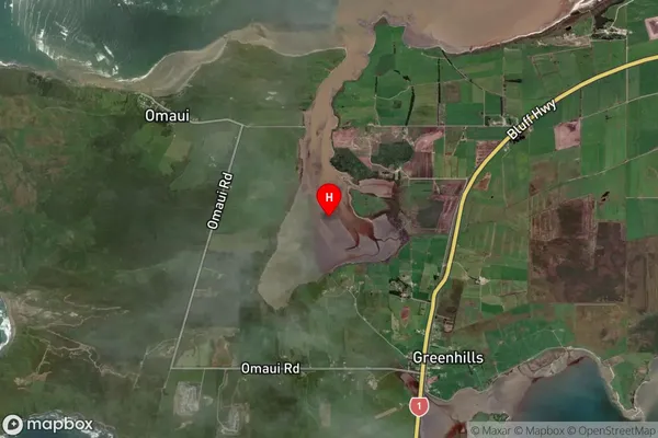
Coastal BayMokomoko Inlet Suburb Map (Satellite)
Country
Main Region in AU
SouthlandMokomoko Inlet Region Map

Coordinates
-46.5302115,168.2862371 (latitude/longitude)Distances
The distance from Mokomoko Inlet, , Invercargill City to NZ Top 10 Cities