Kopu Area, Kopu Postcode(3500) & Map in Kopu
Kopu Area, Kopu Postcode(3500) & Map in Kopu, Thames-Coromandel District, New Zealand
Kopu, Thames-Coromandel District, New Zealand
Kopu Postcodes
Kopu Area (estimated)
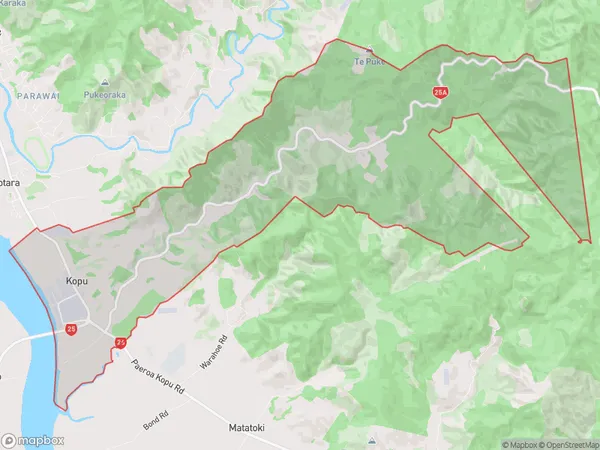
32.8 square kilometersKopu Population (estimated)
330 people live in Kopu, Waikato, NZKopu Suburb Area Map (Polygon)
Kopu Introduction
Kopu is a small town on the banks of the Waikato River in Waikato, New Zealand. It is known for its historic stone buildings and scenic surroundings, and is a popular destination for tourists and locals alike. The town has a population of around 200 people and is located about 100 kilometers north of Hamilton.Region
0Suburb Name
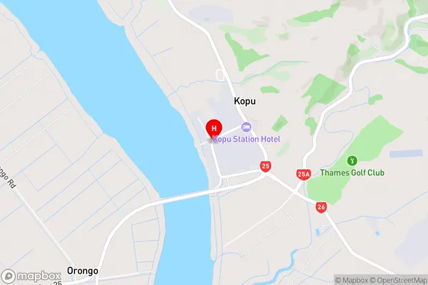
KopuKopu Area Map (Street)
Local Authority
Thames-Coromandel DistrictFull Address
Kopu, Thames-Coromandel District, New ZealandAddress Type
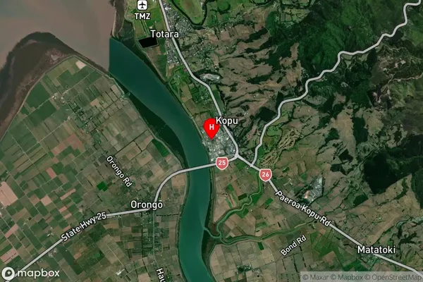
Locality in Town ThamesKopu Suburb Map (Satellite)
Country
Main Region in AU
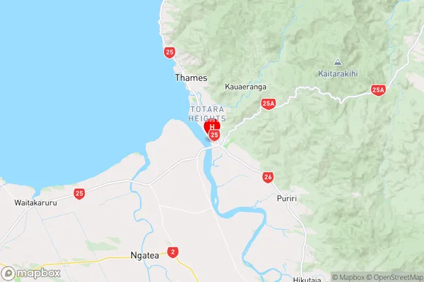
WaikatoKopu Region Map
Coordinates
-37.1855871,175.566059 (latitude/longitude)Distances
The distance from Kopu, Thames, Thames-Coromandel District to NZ Top 10 Cities