Missionary Bay Area, Missionary Bay Postcode & Map in Missionary Bay
Missionary Bay Area, Missionary Bay Postcode & Map in Missionary Bay, Marlborough District, New Zealand
Missionary Bay, Marlborough District, New Zealand
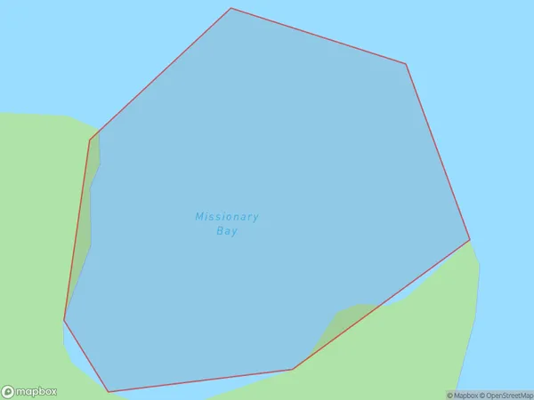
Missionary Bay Area (estimated)
0.1 square kilometersMissionary Bay Population (estimated)
0 people live in Missionary Bay, Marlborough, NZMissionary Bay Suburb Area Map (Polygon)
Missionary Bay Introduction
Missionary Bay is a popular beach in Marlborough, New Zealand, known for its clear waters, sandy beaches, and stunning coastal views. It is a popular spot for swimming, sunbathing, and water sports such as kayaking and paddleboarding. The bay is also home to a variety of wildlife, including seals, dolphins, and penguins.Region
Suburb Name
Missionary BayOther Name(s)
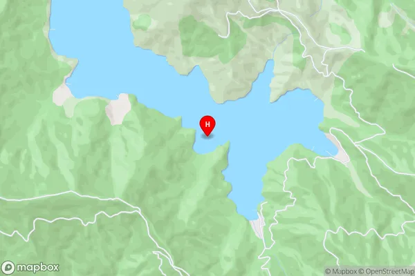
Onapua Bay, Queen Charlotte Sound (Totaranui)Missionary Bay Area Map (Street)
Local Authority
Marlborough DistrictFull Address
Missionary Bay, Marlborough District, New ZealandAddress Type
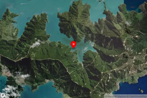
Coastal BayMissionary Bay Suburb Map (Satellite)
Country
Main Region in AU
MarlboroughMissionary Bay Region Map

Coordinates
-41.2693595,174.1965162 (latitude/longitude)Distances
The distance from Missionary Bay, , Marlborough District to NZ Top 10 Cities