Mimiwhangata Bay Area, Mimiwhangata Bay Postcode & Map in Mimiwhangata Bay
Mimiwhangata Bay Area, Mimiwhangata Bay Postcode & Map in Mimiwhangata Bay, Area outside Territorial Authority, New Zealand
Mimiwhangata Bay, Area outside Territorial Authority, New Zealand
Mimiwhangata Bay Area (estimated)
4.2 square kilometersMimiwhangata Bay Population (estimated)
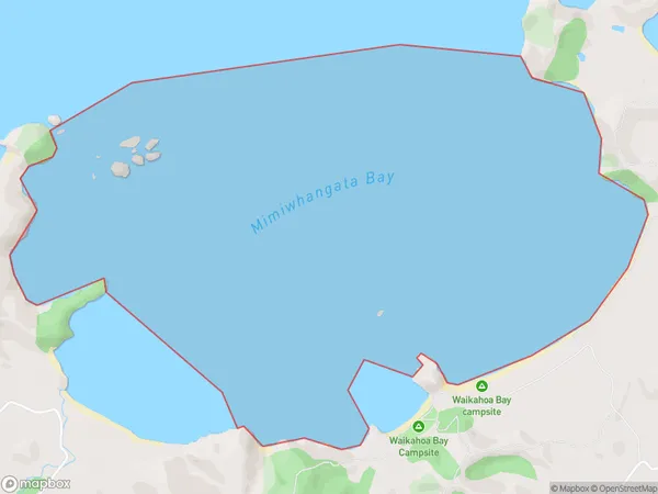
0 people live in Mimiwhangata Bay, Northland, NZMimiwhangata Bay Suburb Area Map (Polygon)
Mimiwhangata Bay Introduction
Mimiwhangata Bay is a picturesque bay located in Northland, New Zealand. It is known for its crystal-clear waters, stunning coastal scenery, and diverse marine life. The bay is a popular spot for swimming, snorkeling, and kayaking, and it is also home to a small community of native Maori people. The bay has been designated as a Marine Reserve, protecting its natural beauty and wildlife for future generations.Region
Suburb Name
Mimiwhangata BayMimiwhangata Bay Area Map (Street)

Local Authority
Area outside Territorial AuthorityFull Address
Mimiwhangata Bay, Area outside Territorial Authority, New ZealandAddress Type
Coastal BayMimiwhangata Bay Suburb Map (Satellite)

Country
Main Region in AU
NorthlandMimiwhangata Bay Region Map

Coordinates
-35.43398025,174.408201228167 (latitude/longitude)Distances
The distance from Mimiwhangata Bay, , Area outside Territorial Authority to NZ Top 10 Cities