Milford Sound/Piopiotahi Area, Milford Sound/Piopiotahi Postcode & Map in Milford Sound/Piopiotahi
Milford Sound/Piopiotahi Area, Milford Sound/Piopiotahi Postcode & Map in Milford Sound/Piopiotahi, Southland District, New Zealand
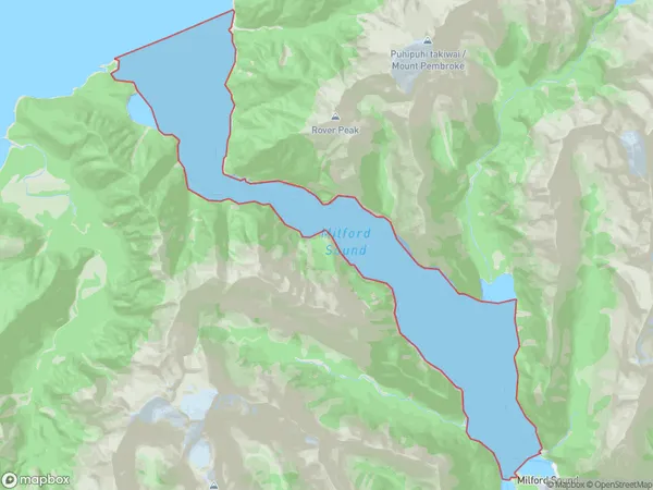
Milford Sound/Piopiotahi, Southland District, New Zealand
Milford Sound/Piopiotahi Area (estimated)
29.4 square kilometersMilford Sound/Piopiotahi Population (estimated)
0 people live in Milford Sound/Piopiotahi, Fiordland Community, NZMilford Sound/Piopiotahi Suburb Area Map (Polygon)
Milford Sound/Piopiotahi Introduction
Milford Sound/Piopiotahi is a fjord in Southland, New Zealand, known for its stunning mountain scenery, waterfalls, and wildlife. It is accessible by boat or helicopter from Queenstown.Region
Major City
Suburb Name
Milford Sound/PiopiotahiOther Name(s)
Milford Sound, PiopiotahiMilford Sound/Piopiotahi Area Map (Street)

Local Authority
Southland DistrictFull Address
Milford Sound/Piopiotahi, Southland District, New ZealandAddress Type
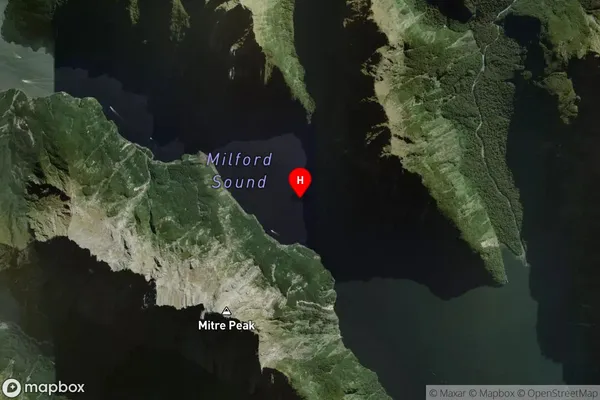
Coastal BayMilford Sound/Piopiotahi Suburb Map (Satellite)
Country
Main Region in AU
SouthlandMilford Sound/Piopiotahi Region Map

Coordinates
-44.61901895,167.868760306355 (latitude/longitude)Distances
The distance from Milford Sound/Piopiotahi, , Southland District to NZ Top 10 Cities