Matapaua Bay Area, Matapaua Bay Postcode & Map in Matapaua Bay
Matapaua Bay Area, Matapaua Bay Postcode & Map in Matapaua Bay, Area outside Territorial Authority, New Zealand
Matapaua Bay, Area outside Territorial Authority, New Zealand
Matapaua Bay Area (estimated)
0.6 square kilometersMatapaua Bay Population (estimated)
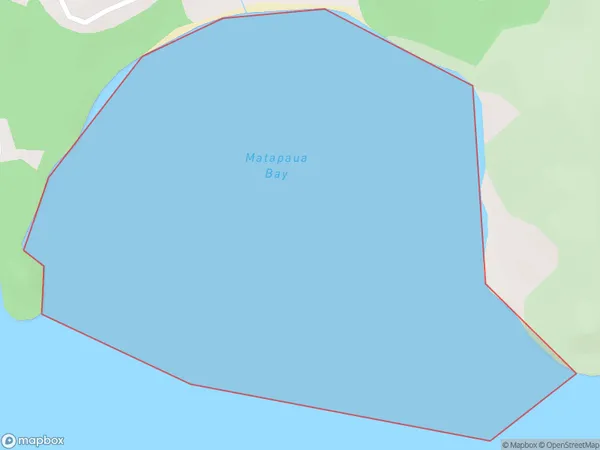
0 people live in Matapaua Bay, Waikato, NZMatapaua Bay Suburb Area Map (Polygon)
Matapaua Bay Introduction
Matapaua Bay is a picturesque and safe bay located in the Waikato region of New Zealand. It is known for its clear waters, sandy beaches, and stunning coastal scenery. The bay is a popular spot for swimming, boating, and fishing, and it is also home to a variety of wildlife, including seals, dolphins, and penguins. The bay is surrounded by lush green hills and is located just a short drive from the town of Paeroa.Region
Suburb Name
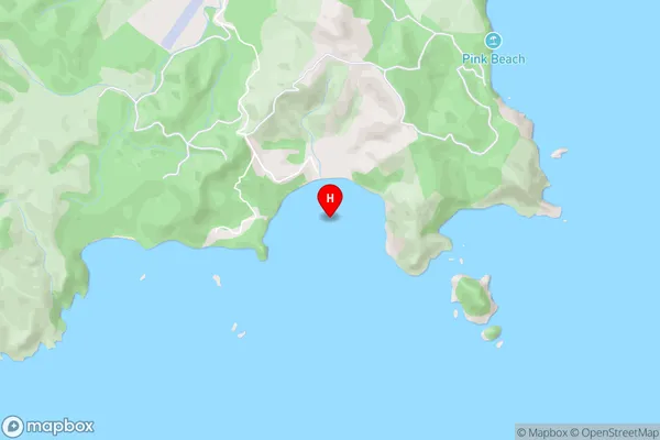
Matapaua BayMatapaua Bay Area Map (Street)
Local Authority
Area outside Territorial AuthorityFull Address
Matapaua Bay, Area outside Territorial Authority, New ZealandAddress Type
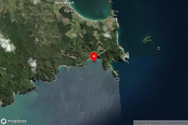
Coastal BayMatapaua Bay Suburb Map (Satellite)
Country
Main Region in AU
WaikatoMatapaua Bay Region Map

Coordinates
-36.7401712,175.8090906 (latitude/longitude)Distances
The distance from Matapaua Bay, , Area outside Territorial Authority to NZ Top 10 Cities