Kokotau Area, Kokotau Postcode & Map in Kokotau
Kokotau Area, Kokotau Postcode & Map in Kokotau, Carterton District,
Kokotau, Carterton District,
Kokotau Area (estimated)
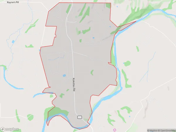
7.5 square kilometersKokotau Population (estimated)
57 people live in Kokotau, Carterton, NZKokotau Suburb Area Map (Polygon)
Kokotau Introduction
Kokotau is a small town located in the Carterton District of the Wellington Region of New Zealand. It is known for its rural setting and picturesque landscapes, including the Kokotau Gorge and the surrounding hills. The town has a population of around 1,000 people and is surrounded by farmland and native bush. It is also home to a variety of wildlife, including kea, tui, and kiwi.Region
Major City
Suburb Name
KokotauKokotau Area Map (Street)
Local Authority
Carterton DistrictFull Address
Kokotau, Carterton District,Address Type
Locality in Town CartertonKokotau Suburb Map (Satellite)
Country
Main Region in AU
WellingtonKokotau Region Map
Coordinates
0,0 (latitude/longitude)Distances
The distance from Kokotau, Carterton, Carterton District to NZ Top 10 Cities