Mataora Bay Area, Mataora Bay Postcode & Map in Mataora Bay
Mataora Bay Area, Mataora Bay Postcode & Map in Mataora Bay, Area outside Territorial Authority, New Zealand
Mataora Bay, Area outside Territorial Authority, New Zealand
Mataora Bay Area (estimated)
2.2 square kilometersMataora Bay Population (estimated)
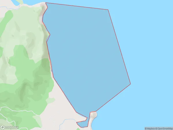
0 people live in Mataora Bay, Waikato, NZMataora Bay Suburb Area Map (Polygon)
Mataora Bay Introduction
Mataora Bay is a small, shallow bay located in the Waikato region of New Zealand. It is known for its clear waters and stunning coastal scenery, making it a popular spot for swimming, fishing, and boating. The bay is also home to a small community of residents and a popular beach resort.Region
Suburb Name
Mataora BayOther Name(s)
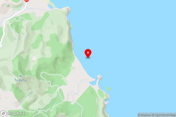
Bay Of PlentyMataora Bay Area Map (Street)
Local Authority
Area outside Territorial AuthorityFull Address
Mataora Bay, Area outside Territorial Authority, New ZealandAddress Type
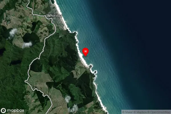
Coastal BayMataora Bay Suburb Map (Satellite)
Country
Main Region in AU
WaikatoMataora Bay Region Map

Coordinates
-37.30343,175.9190128 (latitude/longitude)Distances
The distance from Mataora Bay, , Area outside Territorial Authority to NZ Top 10 Cities