Matakowhai Bay Area, Matakowhai Bay Postcode(3900) & Map in Matakowhai Bay
Matakowhai Bay Area, Matakowhai Bay Postcode(3900) & Map in Matakowhai Bay, Otorohanga District, New Zealand
Matakowhai Bay, Otorohanga District, New Zealand
Matakowhai Bay Postcodes
Matakowhai Bay Area (estimated)
0.3 square kilometersMatakowhai Bay Population (estimated)
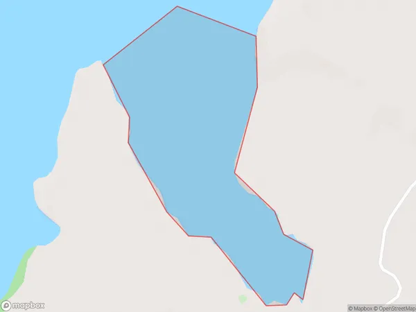
0 people live in Matakowhai Bay, Waikato, NZMatakowhai Bay Suburb Area Map (Polygon)
Matakowhai Bay Introduction
Matakowhai Bay is a large, shallow bay in the Waikato region of New Zealand's North Island. It is known for its clear waters, sandy beaches, and stunning coastal scenery. The bay is a popular destination for swimming, kayaking, and fishing, and is home to a variety of wildlife, including birds, seals, and dolphins. The bay is also a significant archaeological site, with evidence of early Māori settlement dating back thousands of years.Region
Suburb Name
Matakowhai BayOther Name(s)
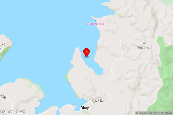
Aotea HarbourMatakowhai Bay Area Map (Street)
Local Authority
Otorohanga District (Maori Name: Ōtorohanga District)Full Address
Matakowhai Bay, Otorohanga District, New ZealandAddress Type
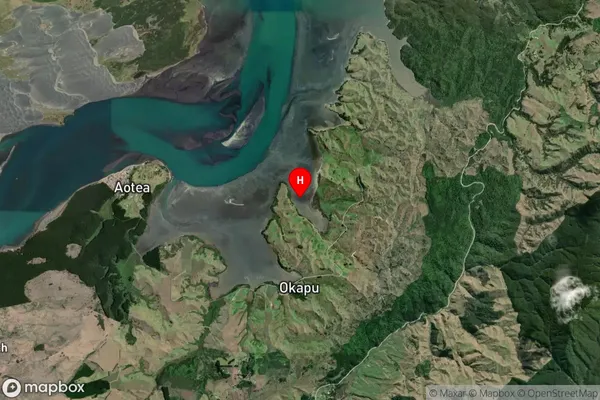
Coastal BayMatakowhai Bay Suburb Map (Satellite)
Country
Main Region in AU
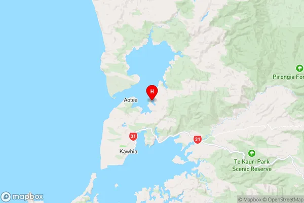
WaikatoMatakowhai Bay Region Map
Coordinates
-38.011917,174.850417 (latitude/longitude)Distances
The distance from Matakowhai Bay, , Otorohanga District to NZ Top 10 Cities