Mat Wight Bay Area, Mat Wight Bay Postcode(7520) & Map in Mat Wight Bay
Mat Wight Bay Area, Mat Wight Bay Postcode(7520) & Map in Mat Wight Bay, Christchurch City, New Zealand
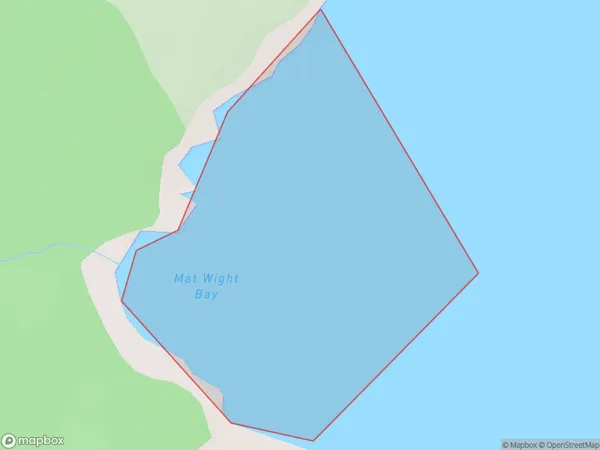
Mat Wight Bay, Christchurch City, New Zealand
Mat Wight Bay Postcodes
Mat Wight Bay Area (estimated)
0.2 square kilometersMat Wight Bay Population (estimated)
0 people live in Mat Wight Bay, Banks Peninsula Community, NZMat Wight Bay Suburb Area Map (Polygon)
Mat Wight Bay Introduction
Mat Wight Bay is a small, shallow bay located in the Canterbury region of New Zealand. It is situated between the towns of Kaiapoi and Waimakariri District, and is known for its peaceful and tranquil environment. The bay is surrounded by picturesque farmland and native bush, and is a popular spot for fishing, kayaking, and birdwatching. The bay is also home to a small community of residents who enjoy the quiet and laid-back lifestyle that the area offers.Region
Major City
Suburb Name
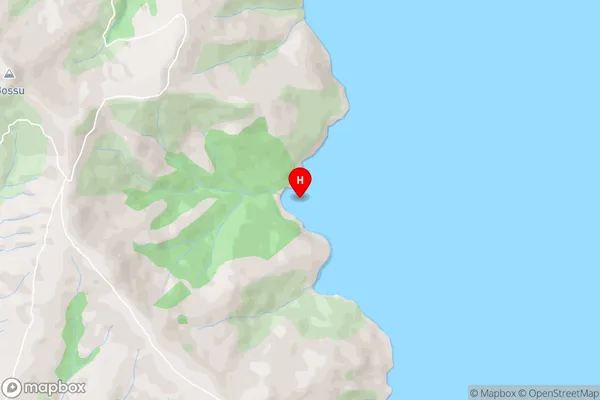
Mat Wight BayOther Name(s)
Akaroa HarbourMat Wight Bay Area Map (Street)
Local Authority
Christchurch CityFull Address
Mat Wight Bay, Christchurch City, New ZealandAddress Type
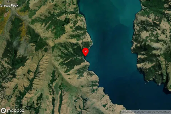
Coastal BayMat Wight Bay Suburb Map (Satellite)
Country
Main Region in AU
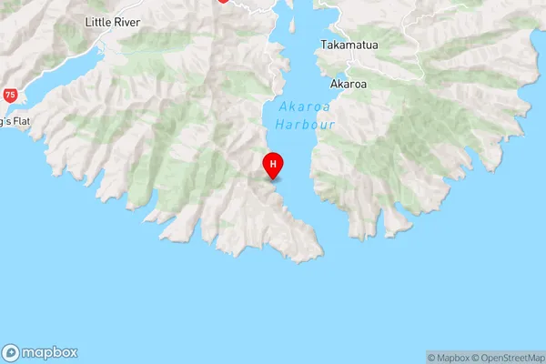
CanterburyMat Wight Bay Region Map
Coordinates
-43.8573679,172.911822 (latitude/longitude)Distances
The distance from Mat Wight Bay, , Christchurch City to NZ Top 10 Cities