Mares Leg Cove Area, Mares Leg Cove Postcode & Map in Mares Leg Cove
Mares Leg Cove Area, Mares Leg Cove Postcode & Map in Mares Leg Cove, Area outside Territorial Authority,
Mares Leg Cove, Area outside Territorial Authority,
Mares Leg Cove Area (estimated)
0.0 square kilometersMares Leg Cove Population (estimated)
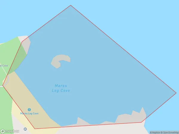
0 people live in Mares Leg Cove, Brighton, NZMares Leg Cove Suburb Area Map (Polygon)
Mares Leg Cove Introduction
Mares Leg Cove is a small, sheltered beach located in the southern region of New Zealand's Otago Peninsula. It is known for its peaceful atmosphere, stunning coastal scenery, and crystal-clear waters. The cove is a popular spot for swimming, kayaking, and fishing, and it is surrounded by native vegetation and breathtaking mountain views. Mares Leg Cove is also home to a small community of residents who enjoy the relaxed lifestyle and natural beauty of the area.Region
Major City
Suburb Name
Mares Leg CoveMares Leg Cove Area Map (Street)
Local Authority
Area outside Territorial AuthorityFull Address
Mares Leg Cove, Area outside Territorial Authority,Address Type
Coastal BayMares Leg Cove Suburb Map (Satellite)
Country
Main Region in AU
OtagoMares Leg Cove Region Map
Coordinates
0,0 (latitude/longitude)Distances
The distance from Mares Leg Cove, , Area outside Territorial Authority to NZ Top 10 Cities