Maraetai Bay Area, Maraetai Bay Postcode & Map in Maraetai Bay
Maraetai Bay Area, Maraetai Bay Postcode & Map in Maraetai Bay, Marlborough District, New Zealand
Maraetai Bay, Marlborough District, New Zealand
Maraetai Bay Area (estimated)
1.3 square kilometersMaraetai Bay Population (estimated)
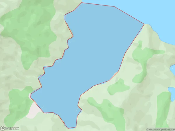
1 people live in Maraetai Bay, Marlborough, NZMaraetai Bay Suburb Area Map (Polygon)
Maraetai Bay Introduction
Marlborough Sounds is a region of the South Island of New Zealand, located in the Marlborough region. It is known for its scenic beauty, including the Marlborough Sounds Marine Reserve, which is a popular spot for boating, fishing, and kayaking. The region is also home to a variety of wildlife, including seals, dolphins, and penguins. The area was first settled by Māori tribes in the 13th century, and European settlers arrived in the 18th century. Today, the region is a popular tourist destination and is known for its wine production.Region
Suburb Name
Maraetai BayOther Name(s)
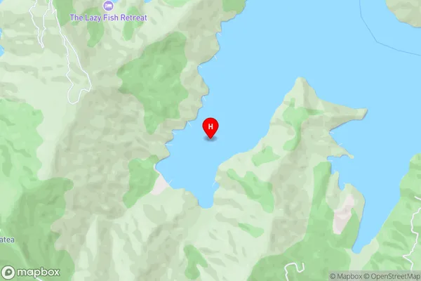
Queen Charlotte Sound (Totaranui)Maraetai Bay Area Map (Street)
Local Authority
Marlborough DistrictFull Address
Maraetai Bay, Marlborough District, New ZealandAddress Type
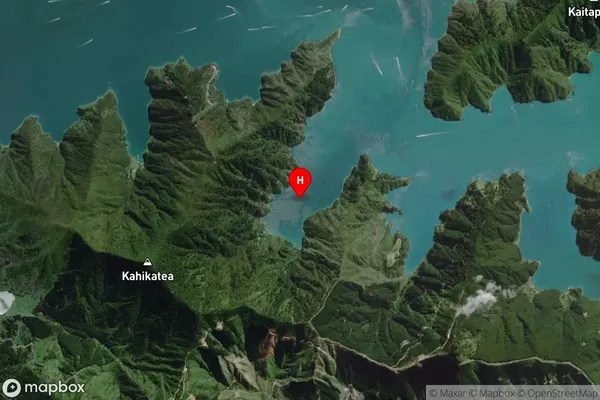
Coastal BayMaraetai Bay Suburb Map (Satellite)
Country
Main Region in AU
MarlboroughMaraetai Bay Region Map

Coordinates
-41.2539416,174.1393165 (latitude/longitude)Distances
The distance from Maraetai Bay, , Marlborough District to NZ Top 10 Cities