Maori Bay Area, Maori Bay Postcode & Map in Maori Bay
Maori Bay Area, Maori Bay Postcode & Map in Maori Bay, Marlborough District, New Zealand
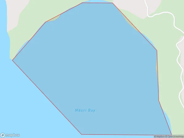
Maori Bay, Marlborough District, New Zealand
Maori Bay Area (estimated)
0.2 square kilometersMaori Bay Population (estimated)
0 people live in Maori Bay, Marlborough, NZMaori Bay Suburb Area Map (Polygon)
Maori Bay Introduction
Maori Bay is a popular beach in Marlborough, New Zealand, known for its clear waters, golden sand, and stunning coastal views. It is a popular spot for swimming, sunbathing, and water sports such as kayaking and paddleboarding. The bay is also home to a Maori settlement and a historic stone fort, which provides insight into the area's rich cultural heritage.Region
Suburb Name
Maori Bay (Maori Name: Māori Bay)Other Name(s)
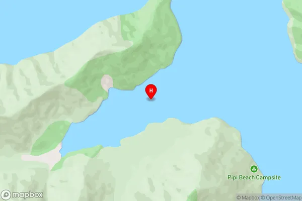
Port Ligar, Waitata Reach (Maori Name: Port Ligar, Waitātā Reach)Maori Bay Area Map (Street)
Local Authority
Marlborough DistrictFull Address
Maori Bay, Marlborough District, New ZealandAddress Type
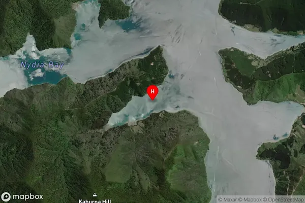
Coastal BayMaori Bay Suburb Map (Satellite)
Country
Main Region in AU
MarlboroughMaori Bay Region Map

Coordinates
-41.1662156,173.8454952 (latitude/longitude)Distances
The distance from Maori Bay, , Marlborough District to NZ Top 10 Cities