Maori Bay Area, Maori Bay Postcode & Map in Maori Bay
Maori Bay Area, Maori Bay Postcode & Map in Maori Bay, Marlborough District,
Maori Bay, Marlborough District,
Maori Bay Area (estimated)
1.8 square kilometersMaori Bay Population (estimated)
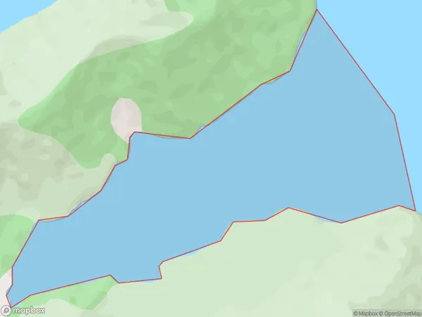
0 people live in Maori Bay, Brighton, NZMaori Bay Suburb Area Map (Polygon)
Maori Bay Introduction
Maori Bay is a small, peaceful bay located in the southern region of New Zealand's Otago Peninsula. It is known for its stunning natural beauty, including rugged cliffs, crystal-clear waters, and a variety of marine life. The bay is a popular spot for swimming, kayaking, and fishing, and it is also home to a small Maori community. The area is rich in cultural heritage, with several historic sites and museums nearby.Region
Major City
Suburb Name
Maori BayOther Name(s)
Pelorus Sound, Tawhitinui ReachMaori Bay Area Map (Street)
Local Authority
Marlborough DistrictFull Address
Maori Bay, Marlborough District,Address Type
Coastal BayMaori Bay Suburb Map (Satellite)
Country
Main Region in AU
OtagoMaori Bay Region Map
Coordinates
0,0 (latitude/longitude)Distances
The distance from Maori Bay, , Marlborough District to NZ Top 10 Cities