Kokonga Area, Kokonga Postcode(9397) & Map in Kokonga
Kokonga Area, Kokonga Postcode(9397) & Map in Kokonga, Central Otago District, New Zealand
Kokonga, Central Otago District, New Zealand
Kokonga Postcodes
Kokonga Area (estimated)
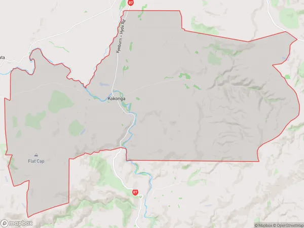
134.9 square kilometersKokonga Population (estimated)
55 people live in Kokonga, Otago, NZKokonga Suburb Area Map (Polygon)
Kokonga Introduction
Kokonga, Kyeburn, Otago, New Zealand, is a small rural town located in the Central Otago District of the South Island. It is situated on the banks of the Kokonga River, approximately 10 kilometers southeast of Alexandra and 120 kilometers northwest of Dunedin. The town has a population of around 300 people and is known for its scenic surroundings, including the Kokonga Scenic Reserve and the surrounding mountains. The area is popular with outdoor enthusiasts, with opportunities for hiking, fishing, and hunting.Region
0Suburb Name
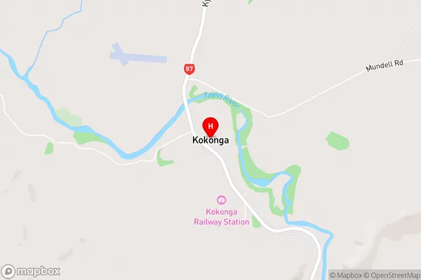
KokongaKokonga Area Map (Street)
Local Authority
Central Otago DistrictFull Address
Kokonga, Central Otago District, New ZealandAddress Type
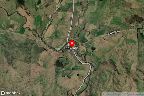
Locality in Major Locality KyeburnKokonga Suburb Map (Satellite)
Country
Main Region in AU
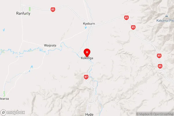
OtagoKokonga Region Map
Coordinates
-45.204037,170.2509929 (latitude/longitude)Distances
The distance from Kokonga, Kyeburn, Central Otago District to NZ Top 10 Cities