Manuka Bay Area, Manuka Bay Postcode & Map in Manuka Bay
Manuka Bay Area, Manuka Bay Postcode & Map in Manuka Bay, Area outside Territorial Authority,
Manuka Bay, Area outside Territorial Authority,
Manuka Bay Area (estimated)
1.2 square kilometersManuka Bay Population (estimated)
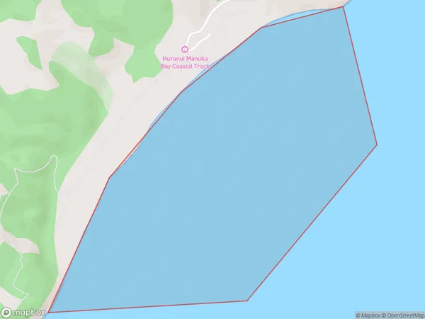
0 people live in Manuka Bay, Brighton, NZManuka Bay Suburb Area Map (Polygon)
Manuka Bay Introduction
Manuka Bay is a small, sheltered bay located in the southern region of New Zealand's Otago Peninsula. It is known for its unique manuka honey, which is produced by the native manuka bush (Leptospermum scoparium) that grows in the area. The bay has a peaceful atmosphere and is a popular spot for swimming, kayaking, and wildlife watching. It is also home to a small community of people who live in the surrounding areas.Region
Major City
Suburb Name
Manuka BayManuka Bay Area Map (Street)
Local Authority
Area outside Territorial AuthorityFull Address
Manuka Bay, Area outside Territorial Authority,Address Type
Coastal BayManuka Bay Suburb Map (Satellite)
Country
Main Region in AU
OtagoManuka Bay Region Map
Coordinates
0,0 (latitude/longitude)Distances
The distance from Manuka Bay, , Area outside Territorial Authority to NZ Top 10 Cities