Manowharangi Bay Area, Manowharangi Bay Postcode(3330) & Map in Manowharangi Bay
Manowharangi Bay Area, Manowharangi Bay Postcode(3330) & Map in Manowharangi Bay, Taupo District, New Zealand
Manowharangi Bay, Taupo District, New Zealand
Manowharangi Bay Postcodes
Manowharangi Bay Area (estimated)
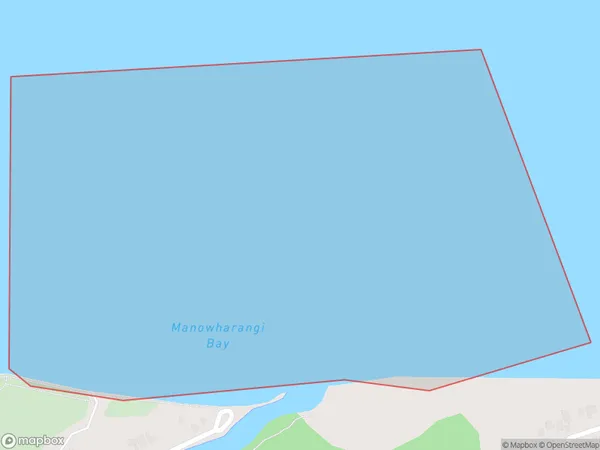
0.8 square kilometersManowharangi Bay Population (estimated)
0 people live in Manowharangi Bay, Waikato, NZManowharangi Bay Suburb Area Map (Polygon)
Manowharangi Bay Introduction
Manowharangi Bay is a popular beach destination in Waikato, New Zealand. It is known for its crystal-clear waters, white sand beaches, and stunning coastal scenery. The bay is a popular spot for swimming, surfing, and fishing, and it is also home to a variety of wildlife, including seals, penguins, and dolphins. Visitors can also explore the nearby Manowharangi Island, which is a wildlife reserve and a popular hiking and birdwatching spot.Region
Suburb Name
Manowharangi BayOther Name(s)
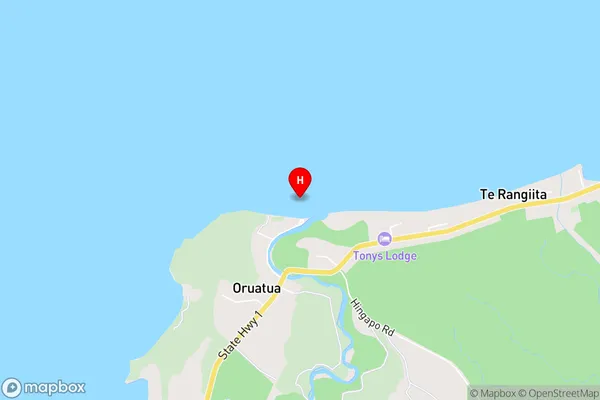
Lake Taupo (Taupomoana)Manowharangi Bay Area Map (Street)
Local Authority
Taupo DistrictFull Address
Manowharangi Bay, Taupo District, New ZealandAddress Type
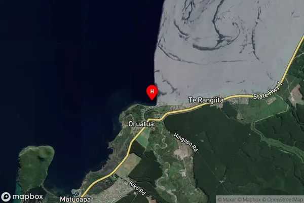
Inland BayManowharangi Bay Suburb Map (Satellite)
Country
Main Region in AU
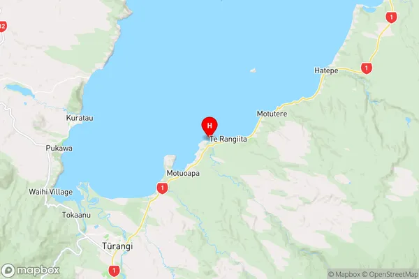
WaikatoManowharangi Bay Region Map
Coordinates
-38.907122,175.8995095 (latitude/longitude)Distances
The distance from Manowharangi Bay, , Taupo District to NZ Top 10 Cities