Mangawhai Bay Area, Mangawhai Bay Postcode(3114) & Map in Mangawhai Bay
Mangawhai Bay Area, Mangawhai Bay Postcode(3114) & Map in Mangawhai Bay, Western Bay of Plenty District, New Zealand
Mangawhai Bay, Western Bay of Plenty District, New Zealand
Mangawhai Bay Postcodes
Mangawhai Bay Area (estimated)
1.0 square kilometersMangawhai Bay Population (estimated)
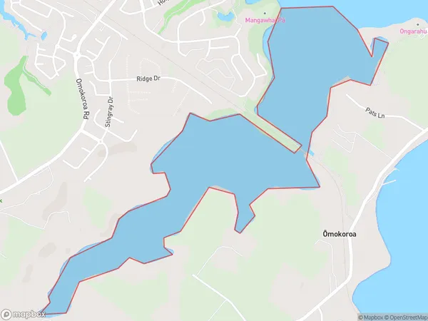
0 people live in Mangawhai Bay, Bay of Plenty, NZMangawhai Bay Suburb Area Map (Polygon)
Mangawhai Bay Introduction
Mangawhai Bay is located in the Bay of Plenty region of New Zealand. It is known for its clear waters, sandy beaches, and diverse marine life, including dolphins, whales, and seals. The bay is a popular destination for swimming, surfing, and fishing, and has several coastal settlements and holiday parks.Region
Major City
Suburb Name
Mangawhai BayOther Name(s)
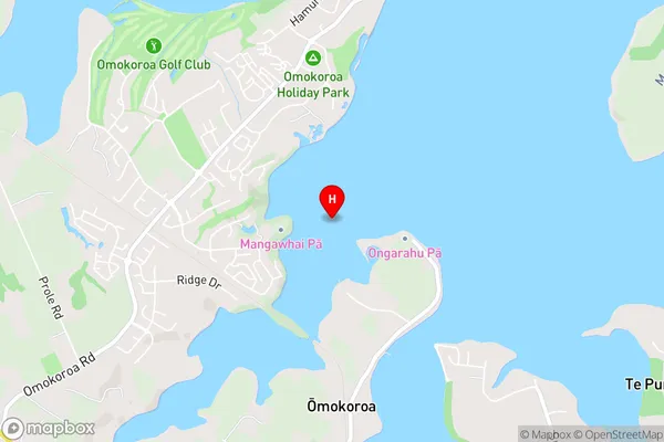
Tauranga HarbourMangawhai Bay Area Map (Street)
Local Authority
Western Bay of Plenty DistrictFull Address
Mangawhai Bay, Western Bay of Plenty District, New ZealandAddress Type
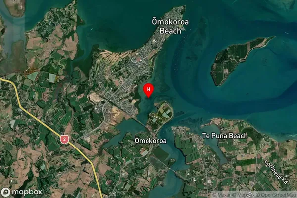
Coastal BayMangawhai Bay Suburb Map (Satellite)
Country
Main Region in AU
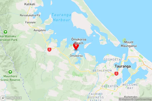
Bay of PlentyMangawhai Bay Region Map
Coordinates
-37.6520812,176.04088 (latitude/longitude)Distances
The distance from Mangawhai Bay, , Western Bay of Plenty District to NZ Top 10 Cities