Mangaora Inlet Area, Mangaora Inlet Postcode(3889) & Map in Mangaora Inlet
Mangaora Inlet Area, Mangaora Inlet Postcode(3889) & Map in Mangaora Inlet, Otorohanga District, New Zealand
Mangaora Inlet, Otorohanga District, New Zealand
Mangaora Inlet Postcodes
Mangaora Inlet Area (estimated)
0.1 square kilometersMangaora Inlet Population (estimated)
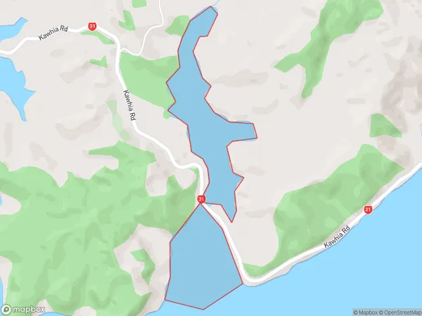
0 people live in Mangaora Inlet, Waikato, NZMangaora Inlet Suburb Area Map (Polygon)
Mangaora Inlet Introduction
Mangaora Inlet is a small, shallow inlet of the Waikato River in New Zealand. It is located about 25 km south of Hamilton City and 10 km north of Morrinsville. The inlet is surrounded by farmland and has a population of around 100 people. The area is known for its scenic beauty and recreational opportunities, including fishing, boating, and hiking. The inlet is also home to a small community of Māori people, who have lived in the area for centuries.Region
Suburb Name
Mangaora InletOther Name(s)
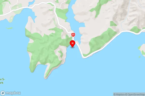
Kawhia HarbourMangaora Inlet Area Map (Street)
Local Authority
Otorohanga District (Maori Name: Ōtorohanga District)Full Address
Mangaora Inlet, Otorohanga District, New ZealandAddress Type
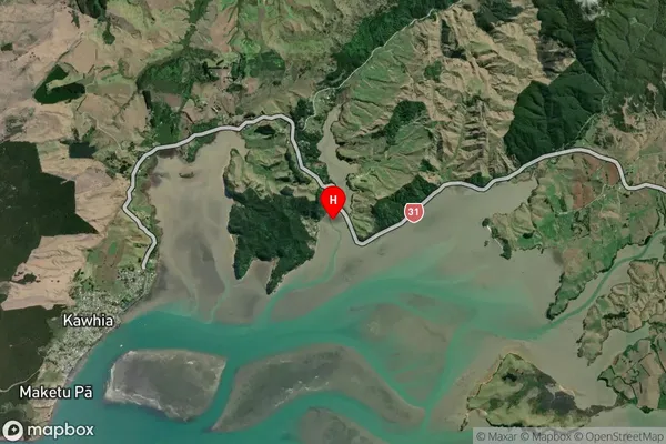
Coastal BayMangaora Inlet Suburb Map (Satellite)
Country
Main Region in AU
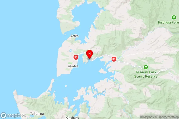
WaikatoMangaora Inlet Region Map
Coordinates
-38.053111,174.856167 (latitude/longitude)Distances
The distance from Mangaora Inlet, , Otorohanga District to NZ Top 10 Cities