Manawaora Bay Area, Manawaora Bay Postcode & Map in Manawaora Bay
Manawaora Bay Area, Manawaora Bay Postcode & Map in Manawaora Bay, Far North District, New Zealand
Manawaora Bay, Far North District, New Zealand
Manawaora Bay Area (estimated)
0.7 square kilometersManawaora Bay Population (estimated)
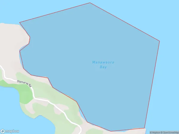
0 people live in Manawaora Bay, Bay of Islands-Whangaroa Community, NZManawaora Bay Suburb Area Map (Polygon)
Manawaora Bay Introduction
Manawaora Bay is a popular beach destination in Northland, New Zealand. It is known for its crystal-clear waters, white sand beaches, and stunning coastal scenery. The bay is also a popular spot for swimming, snorkeling, and kayaking, and it is home to a variety of marine life, including dolphins, whales, and seals. Visitors can also explore the nearby Manawaora Island, which is a wildlife reserve with walking tracks and scenic viewpoints.Region
Major City
Suburb Name
Manawaora BayOther Name(s)
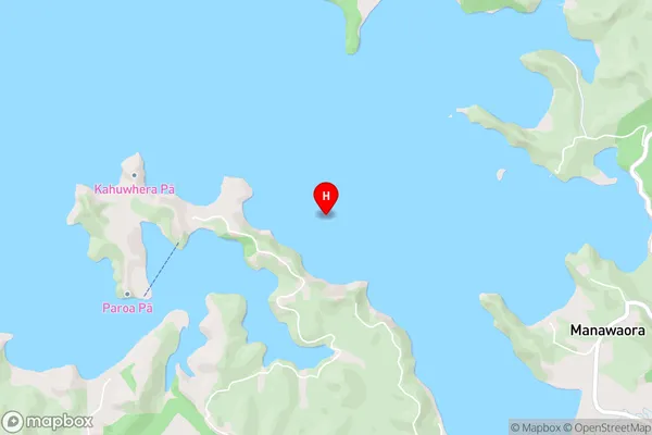
Te Rawhiti Inlet, Bay Of IslandsManawaora Bay Area Map (Street)
Local Authority
Far North DistrictFull Address
Manawaora Bay, Far North District, New ZealandAddress Type
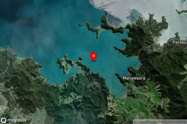
Coastal BayManawaora Bay Suburb Map (Satellite)
Country
Main Region in AU
NorthlandManawaora Bay Region Map

Coordinates
-35.2671292,174.1925156 (latitude/longitude)Distances
The distance from Manawaora Bay, , Far North District to NZ Top 10 Cities