Mahinepua Bay Area, Mahinepua Bay Postcode & Map in Mahinepua Bay
Mahinepua Bay Area, Mahinepua Bay Postcode & Map in Mahinepua Bay, Area outside Territorial Authority, New Zealand
Mahinepua Bay, Area outside Territorial Authority, New Zealand
Mahinepua Bay Area (estimated)
0.6 square kilometersMahinepua Bay Population (estimated)
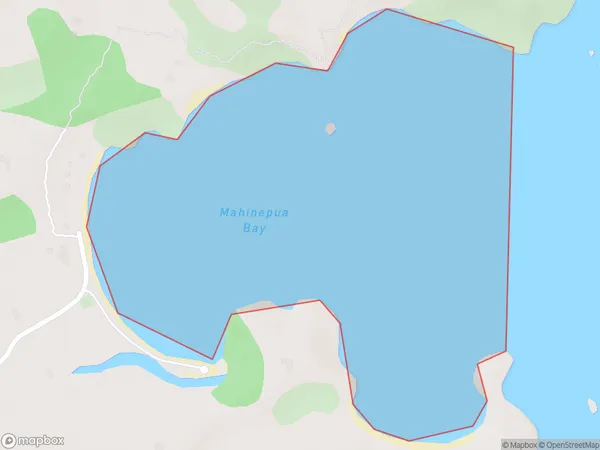
0 people live in Mahinepua Bay, Northland, NZMahinepua Bay Suburb Area Map (Polygon)
Mahinepua Bay Introduction
Mahinepua Bay is located in the Bay of Islands in Northland, New Zealand. It is known for its stunning natural beauty, including crystal-clear waters, rugged cliffs, and lush forests. The bay is a popular destination for tourists and outdoor enthusiasts, with opportunities for hiking, kayaking, and snorkeling. It is also home to a small community of native Maori people who have lived in the area for centuries.Region
Suburb Name
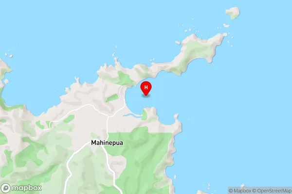
Mahinepua BayMahinepua Bay Area Map (Street)
Local Authority
Area outside Territorial AuthorityFull Address
Mahinepua Bay, Area outside Territorial Authority, New ZealandAddress Type
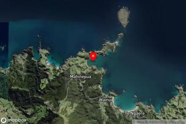
Coastal BayMahinepua Bay Suburb Map (Satellite)
Country
Main Region in AU
NorthlandMahinepua Bay Region Map

Coordinates
-34.9988104,173.8474042 (latitude/longitude)Distances
The distance from Mahinepua Bay, , Area outside Territorial Authority to NZ Top 10 Cities