Mahina Bay Area, Mahina Bay Postcode(5013) & Map in Mahina Bay
Mahina Bay Area, Mahina Bay Postcode(5013) & Map in Mahina Bay, Area outside Territorial Authority, New Zealand
Mahina Bay, Area outside Territorial Authority, New Zealand
Mahina Bay Postcodes
Mahina Bay Area (estimated)
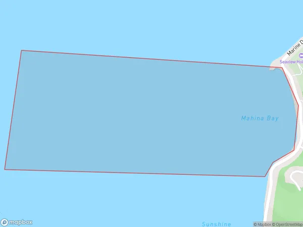
0.8 square kilometersMahina Bay Population (estimated)
0 people live in Mahina Bay, Lower Hutt, NZMahina Bay Suburb Area Map (Polygon)
Mahina Bay Introduction
Mahina Bay is a popular beach in Wellington, New Zealand, known for its golden sand, crystal-clear waters, and stunning coastal views. It is a popular spot for swimming, sunbathing, and beach sports such as surfing and paddleboarding. The bay is also home to a small community of sea birds and is surrounded by picturesque coastal walks and parks.Region
Major City
Suburb Name
Mahina Bay (Maori Name: Māhina Bay)Other Name(s)
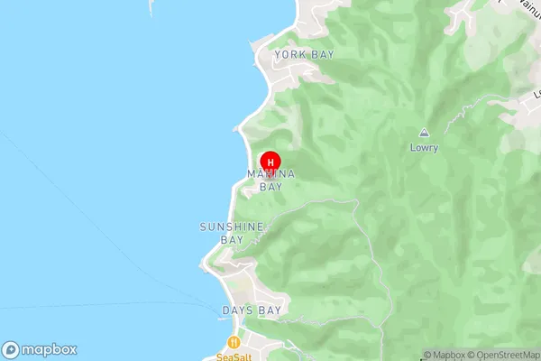
Wellington Harbour / Port Nicholson, Cook StraitMahina Bay Area Map (Street)
Local Authority
Area outside Territorial AuthorityFull Address
Mahina Bay, Area outside Territorial Authority, New ZealandAddress Type
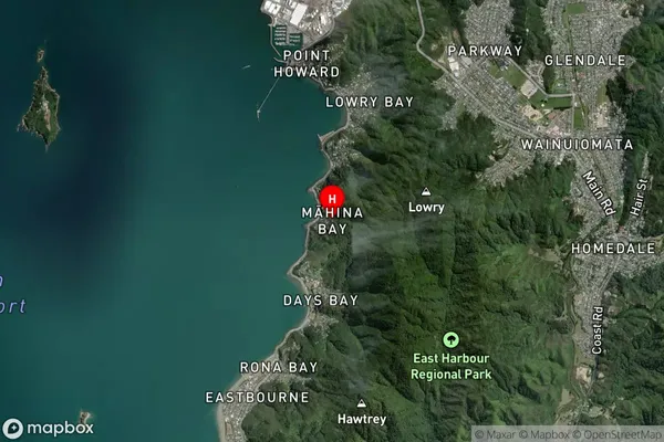
Coastal BayMahina Bay Suburb Map (Satellite)
Country
Main Region in AU
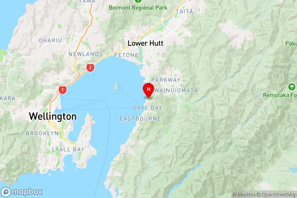
WellingtonMahina Bay Region Map
Coordinates
-41.270727,174.9100664 (latitude/longitude)Distances
The distance from Mahina Bay, , Area outside Territorial Authority to NZ Top 10 Cities