Mahakipawa Arm Area, Mahakipawa Arm Postcode(7100) & Map in Mahakipawa Arm
Mahakipawa Arm Area, Mahakipawa Arm Postcode(7100) & Map in Mahakipawa Arm, Marlborough District, New Zealand
Mahakipawa Arm, Marlborough District, New Zealand
Mahakipawa Arm Postcodes
Mahakipawa Arm Area (estimated)
7.0 square kilometersMahakipawa Arm Population (estimated)
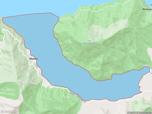
0 people live in Mahakipawa Arm, Marlborough, NZMahakipawa Arm Suburb Area Map (Polygon)
Mahakipawa Arm Introduction
Mahakipawa Arm is a small bay and beach located in the Marlborough region of New Zealand's South Island. It is known for its stunning natural beauty, including rugged cliffs, crystal-clear waters, and a variety of marine life. The bay is a popular spot for swimming, kayaking, and fishing, and it is also home to a small community of residents. The area is protected as a marine reserve, and it is a popular destination for nature lovers and outdoor enthusiasts.Region
Suburb Name
Mahakipawa ArmOther Name(s)
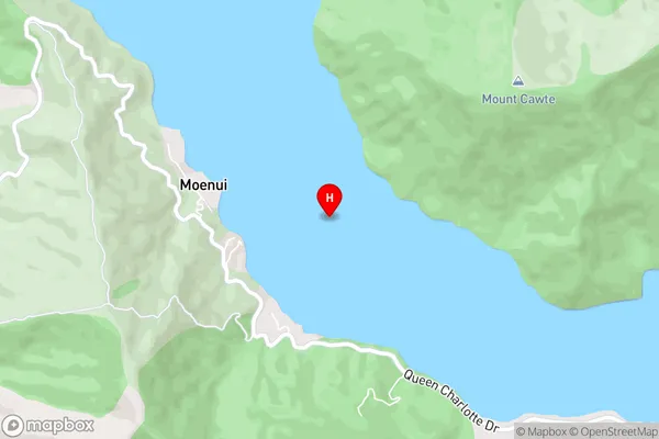
Pelorus Sound, Tawhitinui ReachMahakipawa Arm Area Map (Street)
Local Authority
Marlborough DistrictFull Address
Mahakipawa Arm, Marlborough District, New ZealandAddress Type
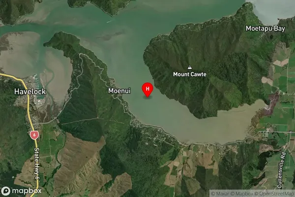
Coastal BayMahakipawa Arm Suburb Map (Satellite)
Country
Main Region in AU
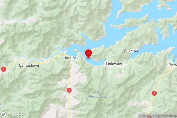
MarlboroughMahakipawa Arm Region Map
Coordinates
-41.2804316,173.8087174 (latitude/longitude)Distances
The distance from Mahakipawa Arm, , Marlborough District to NZ Top 10 Cities