Lyall Bay Area, Lyall Bay Postcode(6022) & Map in Lyall Bay
Lyall Bay Area, Lyall Bay Postcode(6022) & Map in Lyall Bay, Area outside Territorial Authority,
Lyall Bay, Area outside Territorial Authority,
Lyall Bay Postcodes
Lyall Bay Area (estimated)
1.3 square kilometersLyall Bay Population (estimated)
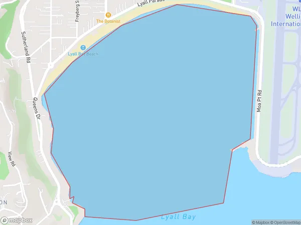
0 people live in Lyall Bay, Brighton, NZLyall Bay Suburb Area Map (Polygon)
Lyall Bay Introduction
Lyall Bay is a popular beach in Dunedin, New Zealand, known for its golden sand, clear waters, and stunning views of the Otago Peninsula. It is a popular destination for swimming, sunbathing, and beach activities, and is surrounded by picturesque gardens and parks.Region
Major City
Suburb Name
Lyall BayOther Name(s)
Cook StraitLyall Bay Area Map (Street)
Local Authority
Area outside Territorial AuthorityFull Address
Lyall Bay, Area outside Territorial Authority,Address Type
Coastal BayLyall Bay Suburb Map (Satellite)
Country
Main Region in AU
OtagoLyall Bay Region Map
Coordinates
0,0 (latitude/longitude)Distances
The distance from Lyall Bay, , Area outside Territorial Authority to NZ Top 10 Cities