Loch Loudon Area, Loch Loudon Postcode & Map in Loch Loudon
Loch Loudon Area, Loch Loudon Postcode & Map in Loch Loudon, Clutha District, New Zealand
Loch Loudon, Clutha District, New Zealand
Loch Loudon Area (estimated)
0.5 square kilometersLoch Loudon Population (estimated)
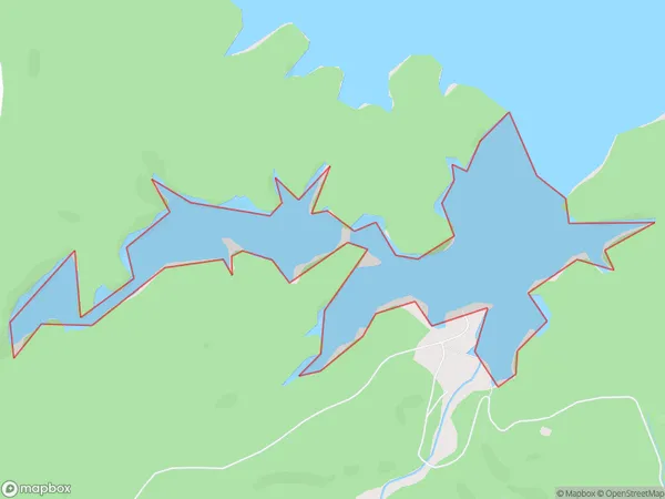
0 people live in Loch Loudon, Otago, NZLoch Loudon Suburb Area Map (Polygon)
Loch Loudon Introduction
Loch Loudon is a small lake located in the South Island of New Zealand, in the Otago region. It is surrounded by stunning mountain scenery and is a popular spot for fishing, hiking, and camping. The lake is also home to a variety of wildlife, including ducks, geese, and trout.Region
Suburb Name
Loch LoudonOther Name(s)
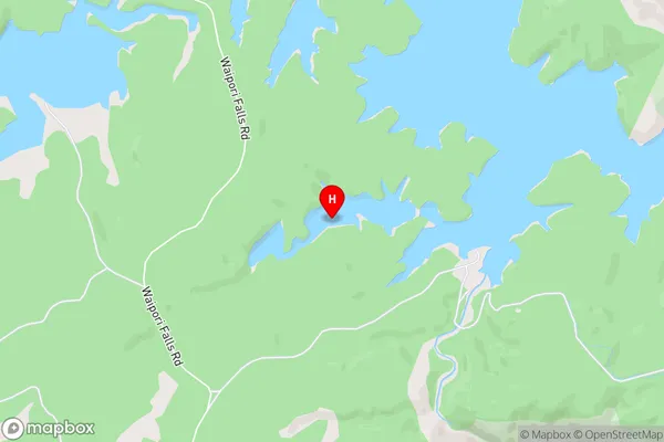
Lake MahinerangiLoch Loudon Area Map (Street)
Local Authority
Clutha DistrictFull Address
Loch Loudon, Clutha District, New ZealandAddress Type
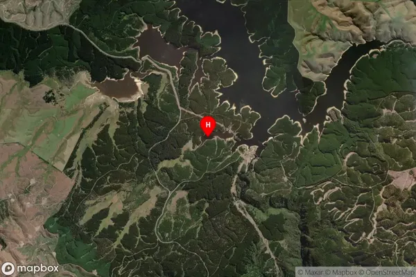
Inland BayLoch Loudon Suburb Map (Satellite)
Country
Main Region in AU
OtagoLoch Loudon Region Map

Coordinates
-45.878031,169.966546423458 (latitude/longitude)Distances
The distance from Loch Loudon, , Clutha District to NZ Top 10 Cities