Livingstone Bay Area, Livingstone Bay Postcode(8082) & Map in Livingstone Bay
Livingstone Bay Area, Livingstone Bay Postcode(8082) & Map in Livingstone Bay, Christchurch City, New Zealand
Livingstone Bay, Christchurch City, New Zealand
Livingstone Bay Postcodes
Livingstone Bay Area (estimated)
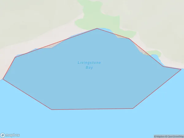
0.3 square kilometersLivingstone Bay Population (estimated)
0 people live in Livingstone Bay, Banks Peninsula Community, NZLivingstone Bay Suburb Area Map (Polygon)
Livingstone Bay Introduction
Livingstone Bay is a picturesque beach located in the Canterbury region of New Zealand. It is known for its stunning turquoise waters, white sand, and rugged cliffs. The bay is a popular spot for swimming, surfing, and fishing, and it is surrounded by native bush and farmland. It is also home to a small community of residents who enjoy the peaceful and relaxed lifestyle of the area.Region
Major City
Suburb Name
Livingstone BayOther Name(s)
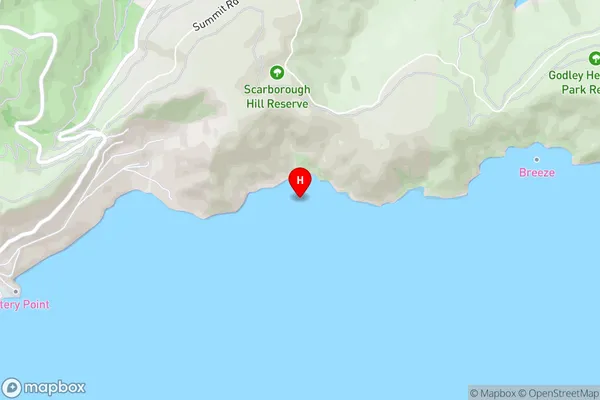
Lyttelton Harbour/Whakaraupo (Maori Name: Lyttelton Harbour/Whakaraupō)Livingstone Bay Area Map (Street)
Local Authority
Christchurch CityFull Address
Livingstone Bay, Christchurch City, New ZealandAddress Type
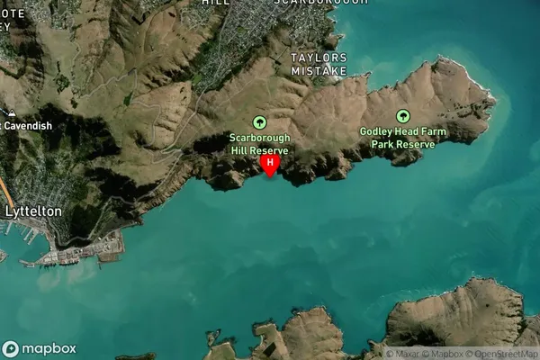
Coastal BayLivingstone Bay Suburb Map (Satellite)
Country
Main Region in AU
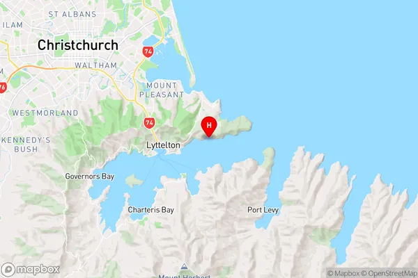
CanterburyLivingstone Bay Region Map
Coordinates
-43.5981904,172.7657065 (latitude/longitude)Distances
The distance from Livingstone Bay, , Christchurch City to NZ Top 10 Cities