Le Bons Bay Area, Le Bons Bay Postcode(7583) & Map in Le Bons Bay
Le Bons Bay Area, Le Bons Bay Postcode(7583) & Map in Le Bons Bay, Christchurch City, New Zealand
Le Bons Bay, Christchurch City, New Zealand
Le Bons Bay Postcodes
Le Bons Bay Area (estimated)
2.8 square kilometersLe Bons Bay Population (estimated)
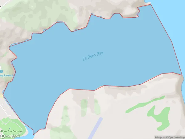
0 people live in Le Bons Bay, Banks Peninsula Community, NZLe Bons Bay Suburb Area Map (Polygon)
Region
Major City
Suburb Name
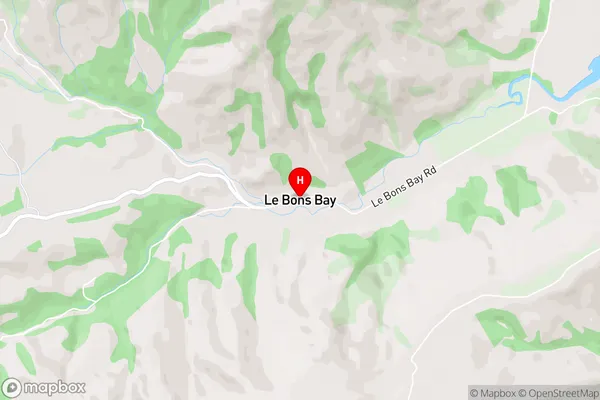
Le Bons BayLe Bons Bay Area Map (Street)
Local Authority
Christchurch CityFull Address
Le Bons Bay, Christchurch City, New ZealandAddress Type
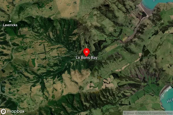
Coastal BayLe Bons Bay Suburb Map (Satellite)
Country
Main Region in AU
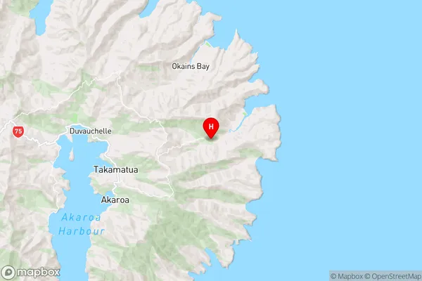
CanterburyLe Bons Bay Region Map
Coordinates
-43.7621156,173.0623703 (latitude/longitude)Distances
The distance from Le Bons Bay, , Christchurch City to NZ Top 10 Cities