Lavericks Bay Area, Lavericks Bay Postcode & Map in Lavericks Bay
Lavericks Bay Area, Lavericks Bay Postcode & Map in Lavericks Bay, Area outside Territorial Authority, New Zealand
Lavericks Bay, Area outside Territorial Authority, New Zealand
Lavericks Bay Area (estimated)
0.6 square kilometersLavericks Bay Population (estimated)
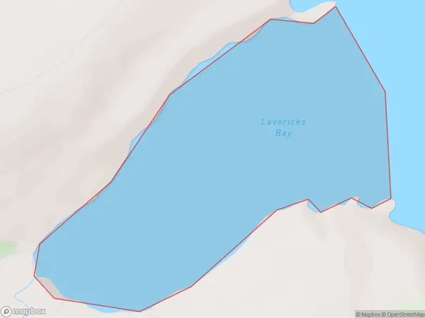
0 people live in Lavericks Bay, Canterbury, NZLavericks Bay Suburb Area Map (Polygon)
Lavericks Bay Introduction
Lavericks Bay is a small, picturesque beach located in the Canterbury region of New Zealand. It is known for its rugged coastline, stunning sunsets, and abundant wildlife, including seals and penguins. The bay is also a popular spot for surfing and fishing, with several surf schools and fishing charters in the area. Visitors can access Lavericks Bay via a short walking track from the parking area, and there are also several accommodation options nearby, including holiday homes and campgrounds.Region
Suburb Name
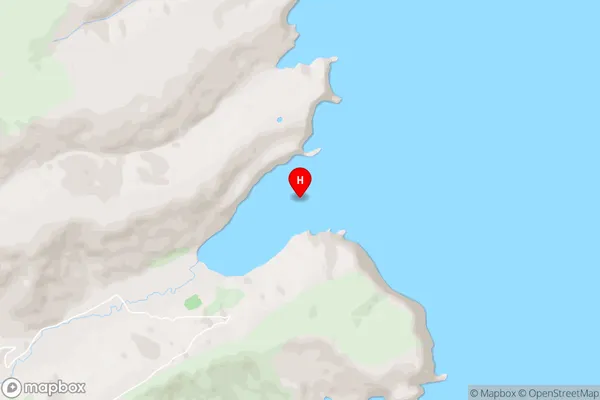
Lavericks BayLavericks Bay Area Map (Street)
Local Authority
Area outside Territorial AuthorityFull Address
Lavericks Bay, Area outside Territorial Authority, New ZealandAddress Type
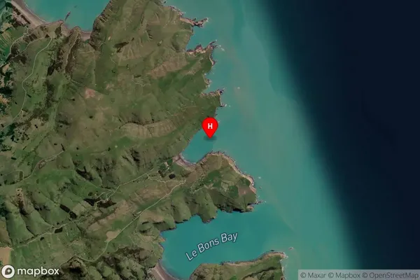
Coastal BayLavericks Bay Suburb Map (Satellite)
Country
Main Region in AU
CanterburyLavericks Bay Region Map

Coordinates
-43.7166605,173.1073528 (latitude/longitude)Distances
The distance from Lavericks Bay, , Area outside Territorial Authority to NZ Top 10 Cities