Landing Bay Area, Landing Bay Postcode & Map in Landing Bay
Landing Bay Area, Landing Bay Postcode & Map in Landing Bay, Southland District,
Landing Bay, Southland District,
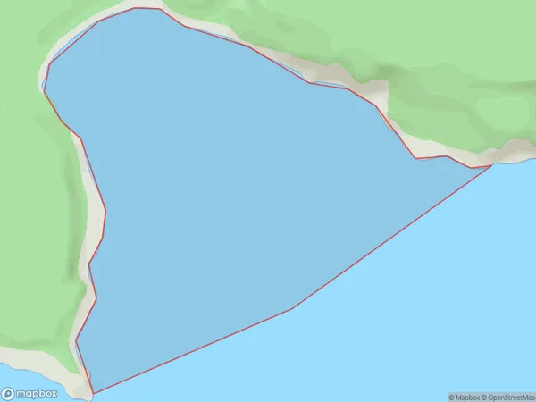
Landing Bay Area (estimated)
2.3 square kilometersLanding Bay Population (estimated)
0 people live in Landing Bay, Brighton, NZLanding Bay Suburb Area Map (Polygon)
Landing Bay Introduction
Landing Bay is a small beach located in the southern part of Dunedin, New Zealand. It is known for its peaceful atmosphere, stunning coastal views, and proximity to various attractions such as the Otago Peninsula and Dunedin City. The beach is popular with locals and tourists alike and offers a range of activities, including swimming, sunbathing, and fishing.Region
Major City
Suburb Name
Landing BayOther Name(s)
Western PassageLanding Bay Area Map (Street)
Local Authority
Southland DistrictFull Address
Landing Bay, Southland District,Address Type
Coastal BayLanding Bay Suburb Map (Satellite)
Country
Main Region in AU
OtagoLanding Bay Region Map
Coordinates
0,0 (latitude/longitude)Distances
The distance from Landing Bay, , Southland District to NZ Top 10 Cities