Kuranui Bay Area, Kuranui Bay Postcode(3500) & Map in Kuranui Bay
Kuranui Bay Area, Kuranui Bay Postcode(3500) & Map in Kuranui Bay, Area outside Territorial Authority, New Zealand
Kuranui Bay, Area outside Territorial Authority, New Zealand
Kuranui Bay Postcodes
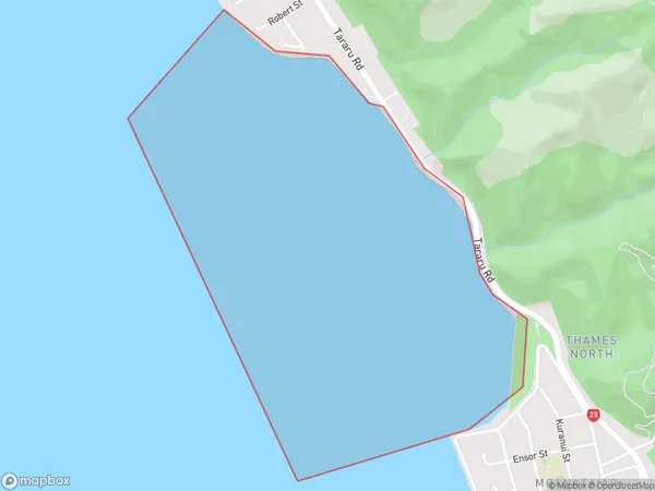
Kuranui Bay Area (estimated)
1.8 square kilometersKuranui Bay Population (estimated)
0 people live in Kuranui Bay, Waikato, NZKuranui Bay Suburb Area Map (Polygon)
Kuranui Bay Introduction
Kuranui Bay is located in the Waikato region of New Zealand's North Island. It is a popular beach destination known for its white sand, clear waters, and stunning coastal views. The bay is surrounded by native bush and offers a range of outdoor activities, including swimming, surfing, and fishing. It is also home to a small community of people who live in the surrounding areas.Region
Major City
Suburb Name
Kuranui BayOther Name(s)
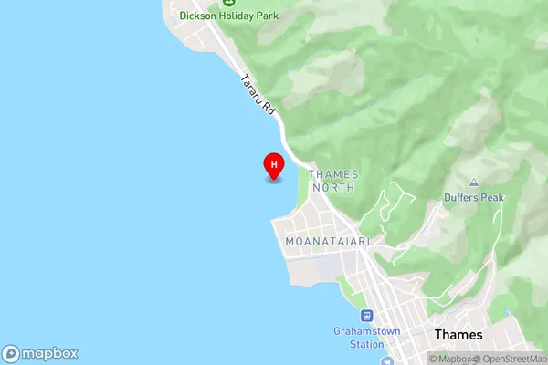
Firth Of Thames, Hauraki GulfKuranui Bay Area Map (Street)
Local Authority
Area outside Territorial AuthorityFull Address
Kuranui Bay, Area outside Territorial Authority, New ZealandAddress Type
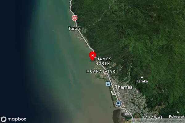
Coastal BayKuranui Bay Suburb Map (Satellite)
Country
Main Region in AU
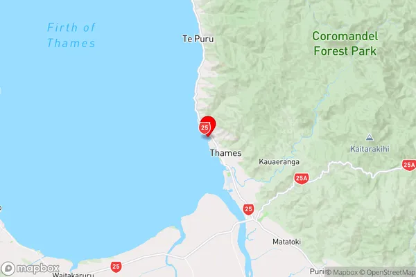
WaikatoKuranui Bay Region Map
Coordinates
-37.125117,175.5282789 (latitude/longitude)Distances
The distance from Kuranui Bay, , Area outside Territorial Authority to NZ Top 10 Cities