Kotukutuku Bay Area, Kotukutuku Bay Postcode(3010) & Map in Kotukutuku Bay
Kotukutuku Bay Area, Kotukutuku Bay Postcode(3010) & Map in Kotukutuku Bay, Rotorua District, New Zealand
Kotukutuku Bay, Rotorua District, New Zealand
Kotukutuku Bay Postcodes
Kotukutuku Bay Area (estimated)
1.1 square kilometersKotukutuku Bay Population (estimated)
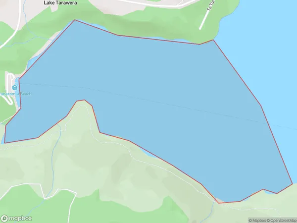
0 people live in Kotukutuku Bay, Bay of Plenty, NZKotukutuku Bay Suburb Area Map (Polygon)
Kotukutuku Bay Introduction
Kotukutuku Bay is a small, sheltered bay in the Bay of Plenty, New Zealand. It is known for its clear waters and stunning coastal scenery, making it a popular spot for swimming, snorkeling, and kayaking. The bay is also home to a small community of residents who live in traditional Maori dwellings.Region
Suburb Name
Kotukutuku Bay (Maori Name: Kōtukutuku Bay)Other Name(s)
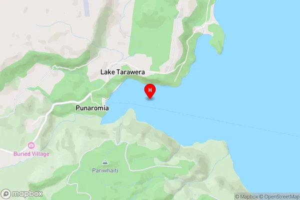
Lake TaraweraKotukutuku Bay Area Map (Street)
Local Authority
Rotorua DistrictFull Address
Kotukutuku Bay, Rotorua District, New ZealandAddress Type
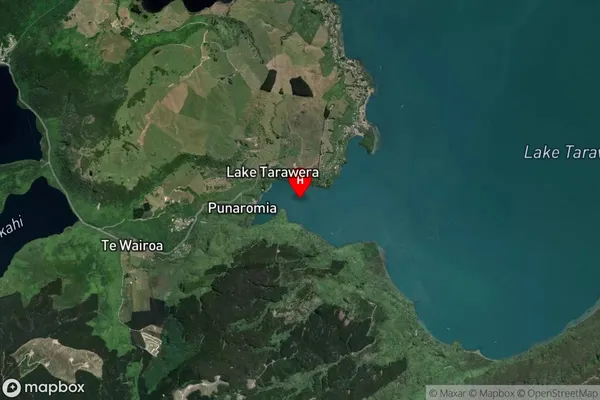
Inland BayKotukutuku Bay Suburb Map (Satellite)
Country
Main Region in AU
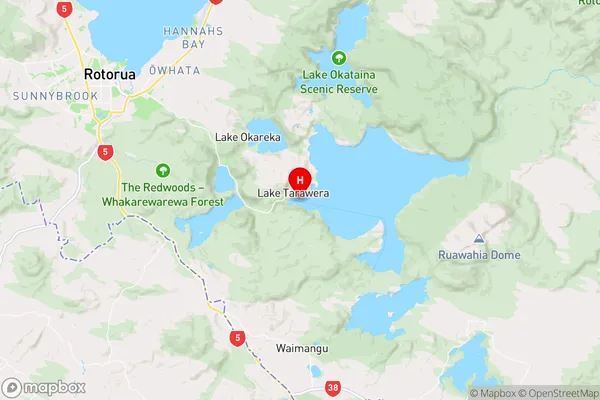
Bay of PlentyKotukutuku Bay Region Map
Coordinates
-38.2060065,176.3836483 (latitude/longitude)Distances
The distance from Kotukutuku Bay, , Rotorua District to NZ Top 10 Cities