Kotiroreka Bay Area, Kotiroreka Bay Postcode & Map in Kotiroreka Bay
Kotiroreka Bay Area, Kotiroreka Bay Postcode & Map in Kotiroreka Bay, Area outside Territorial Authority, New Zealand
Kotiroreka Bay, Area outside Territorial Authority, New Zealand
Kotiroreka Bay Area (estimated)
0.1 square kilometersKotiroreka Bay Population (estimated)
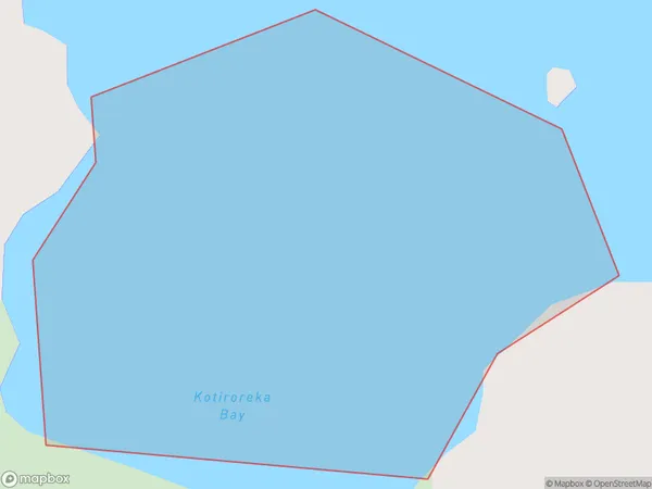
0 people live in Kotiroreka Bay, Northland, NZKotiroreka Bay Suburb Area Map (Polygon)
Kotiroreka Bay Introduction
Kotiroreka Bay is a small, shallow bay located in the Northland region of New Zealand. It is known for its stunning natural beauty, including rugged cliffs, pristine beaches, and diverse marine life. The bay is a popular spot for fishing, kayaking, and snorkeling, and is also home to a small community of residents.Region
Suburb Name
Kotiroreka BayOther Name(s)
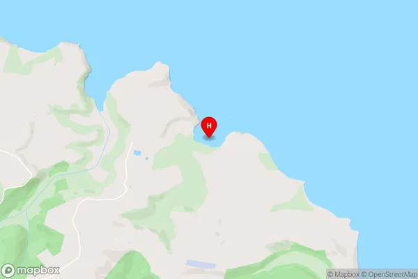
Kaipara HarbourKotiroreka Bay Area Map (Street)
Local Authority
Area outside Territorial AuthorityFull Address
Kotiroreka Bay, Area outside Territorial Authority, New ZealandAddress Type
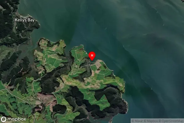
Coastal BayKotiroreka Bay Suburb Map (Satellite)
Country
Main Region in AU
NorthlandKotiroreka Bay Region Map

Coordinates
-36.2680178,174.1378383 (latitude/longitude)Distances
The distance from Kotiroreka Bay, , Area outside Territorial Authority to NZ Top 10 Cities