Korua Bay Area, Korua Bay Postcode & Map in Korua Bay
Korua Bay Area, Korua Bay Postcode & Map in Korua Bay, Waikato District, New Zealand
Korua Bay, Waikato District, New Zealand
Korua Bay Area (estimated)
0.1 square kilometersKorua Bay Population (estimated)
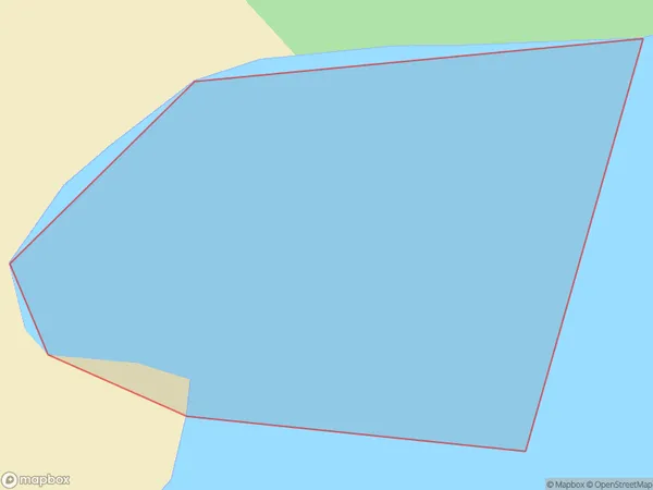
0 people live in Korua Bay, Waikato, NZKorua Bay Suburb Area Map (Polygon)
Korua Bay Introduction
Korua Bay is a picturesque beach located in the Waikato region of New Zealand. It is known for its crystal-clear waters, stunning coastal views, and diverse marine life. The bay is a popular spot for swimming, kayaking, and fishing, and it is also home to a small community of residents. The area is surrounded by lush green forests and picturesque farmland, and it is a popular destination for nature lovers and outdoor enthusiasts.Region
Suburb Name
Korua BayOther Name(s)
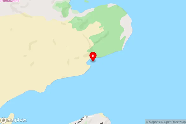
Aotea HarbourKorua Bay Area Map (Street)
Local Authority
Waikato DistrictFull Address
Korua Bay, Waikato District, New ZealandAddress Type
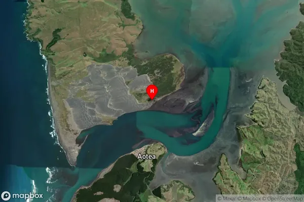
Coastal BayKorua Bay Suburb Map (Satellite)
Country
Main Region in AU
WaikatoKorua Bay Region Map

Coordinates
-37.995392,174.823419 (latitude/longitude)Distances
The distance from Korua Bay, , Waikato District to NZ Top 10 Cities