Kohanga Bay Area, Kohanga Bay Postcode & Map in Kohanga Bay
Kohanga Bay Area, Kohanga Bay Postcode & Map in Kohanga Bay, Far North District, New Zealand
Kohanga Bay, Far North District, New Zealand
Kohanga Bay Area (estimated)
0.3 square kilometersKohanga Bay Population (estimated)
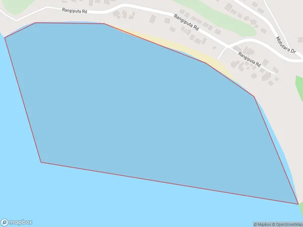
0 people live in Kohanga Bay, Te Hiku Community, NZKohanga Bay Suburb Area Map (Polygon)
Kohanga Bay Introduction
Kohanga Bay is a picturesque bay located in the Far North District of Northland, New Zealand. It is known for its stunning turquoise waters, white sandy beaches, and surrounding natural beauty. The bay is a popular destination for tourists and locals alike, with opportunities for swimming, snorkeling, kayaking, and fishing. It is also home to a small community of people who live in the surrounding areas.Region
Major City
Suburb Name
Kohanga BayOther Name(s)
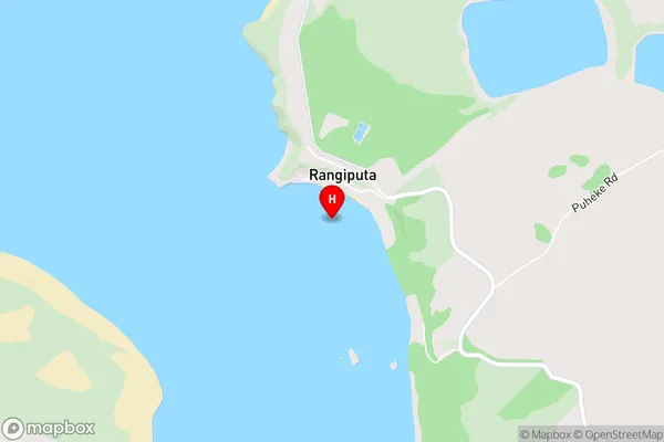
Rangaunu HarbourKohanga Bay Area Map (Street)
Local Authority
Far North DistrictFull Address
Kohanga Bay, Far North District, New ZealandAddress Type
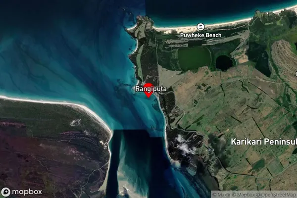
Coastal BayKohanga Bay Suburb Map (Satellite)
Country
Main Region in AU
NorthlandKohanga Bay Region Map

Coordinates
-34.88181,173.29369 (latitude/longitude)Distances
The distance from Kohanga Bay, , Far North District to NZ Top 10 Cities