Knife and Steel Harbour Area, Knife and Steel Harbour Postcode & Map in Knife and Steel Harbour
Knife and Steel Harbour Area, Knife and Steel Harbour Postcode & Map in Knife and Steel Harbour, Area outside Territorial Authority, New Zealand
Knife and Steel Harbour, Area outside Territorial Authority, New Zealand
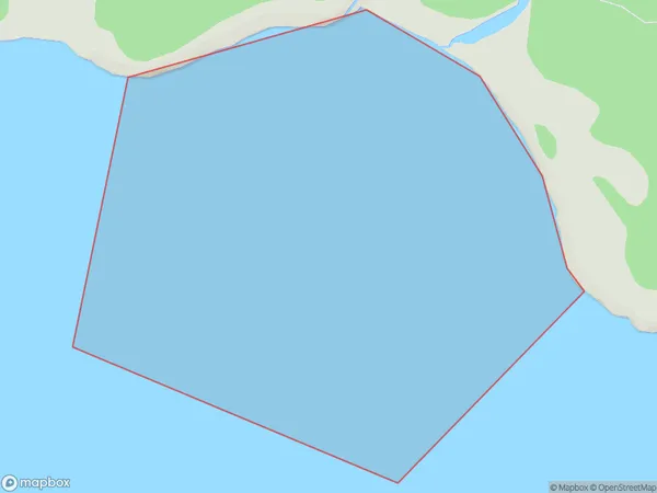
Knife and Steel Harbour Area (estimated)
1.0 square kilometersKnife and Steel Harbour Population (estimated)
0 people live in Knife and Steel Harbour, Southland, NZKnife and Steel Harbour Suburb Area Map (Polygon)
Knife and Steel Harbour Introduction
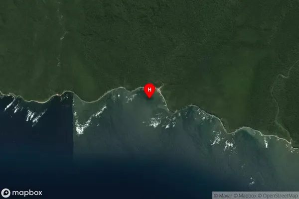
Knife and Steel Harbour is a small harbor located in Southland, New Zealand. It is known for its stunning natural surroundings, including rugged cliffs, picturesque beaches, and abundant wildlife. The harbor is a popular destination for fishing, kayaking, and hiking, and it is home to a small community of residents who rely on the fishing industry for their livelihood.Region
Suburb Name
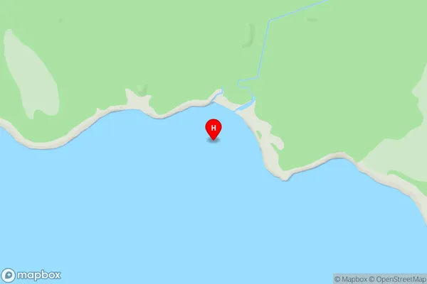
Knife and Steel HarbourKnife and Steel Harbour Area Map (Street)
Local Authority
Area outside Territorial AuthorityFull Address
Knife and Steel Harbour, Area outside Territorial Authority, New ZealandAddress Type
Coastal BayKnife and Steel Harbour Suburb Map (Satellite)
Country
Main Region in AU
SouthlandKnife and Steel Harbour Region Map

Coordinates
-46.230572,167.018565 (latitude/longitude)Distances
The distance from Knife and Steel Harbour, , Area outside Territorial Authority to NZ Top 10 Cities